

Newsroom
-
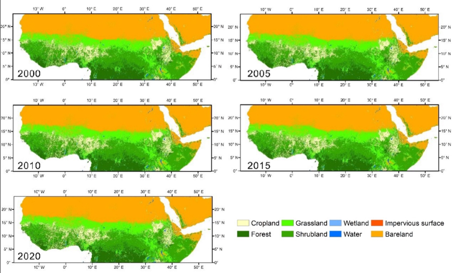 Datasets Unveil Impacts of Land Use and Cover Change on Sahel in Africa
Four datasets on the Sahel-Sudano-Guinean region of Africa have been recently released on the platform of the National Tibetan Plateau / Third Pole Environment Data Center. The four datasets include: 1) 30m resolution land use/cover the (1990-2020); 2) annual NPP-VIIRS (National Polar-Orbiting Partnership - Visible Infrared Imaging Radiometer Suite) night time light (2013-2020); 3) long time series on night time light on the same region as data set (2), but a much longer period of time (1992-2020); 4) inventory and extent of surface water bodies (2000-2020).
06 Jul 2022 -
 Impact Factor of Microsystems & Nanoengineering Rises to Record-high 8.006
According to the 2022 Journal Citation Report (JCR) recently released by Clarivate Analytics, the impact factor of Microsystems & Nanoengineering has risen to 8.006 in 2021. With a 50% increase in the total number of articles published, Microsystems & Nanoengineering has ranked No. 4 in the Instrument & Instrumentation category in JCR in terms of impact factor, continued to be ranked in the Q1, and ranked No. 1 in instrumentation subject in Chinese journals for six consecutive years.
06 Jul 2022 -
 Program on Intelligent Processing of Big Point Cloud Data Launched
A program on "Key technologies and software for intelligent processing of multi-platform and multi-modal point cloud data" was launched to develop key technologies and software for intelligent processing of big point cloud data.
12 Jun 2022 -
 National R&D Program on “High Sensitive Magnetoresistive Sensor” Launched
A program on "High Sensitive Magnetoresistive Sensor" was launched to develop ultrahigh sensitive magnetic sensor for advancing weak magnetic field detection, according to the Aerospace Information Research Institute (AIR), Chinese Academy of Sciences (CAS).
08 Jun 2022 -
 “Intelligent Sensor” Program Launched to Advance Intracranial Detection
A program of "Research on flexible intracranial implantable multimodal integrated sensing and control technology" was launched to advance the intracranial multiparameter detection, according to the Aerospace Information Research Institute (AIR), Chinese Academy of Sciences (CAS).
05 Jun 2022 -
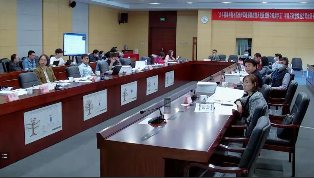 BeiDou and High-resolution Remote Sensing Integrated to Empower Regional Economy
A national key R&D program, which involves China's BeiDou Navigation Satellite System (BDS) and High-resolution Earth Observation System, is launched to empower Shandong's socio-economic development, according to the Aerospace Information Research Institute (AIR), Chinese Academy of Sciences (CAS).
30 May 2022

