-
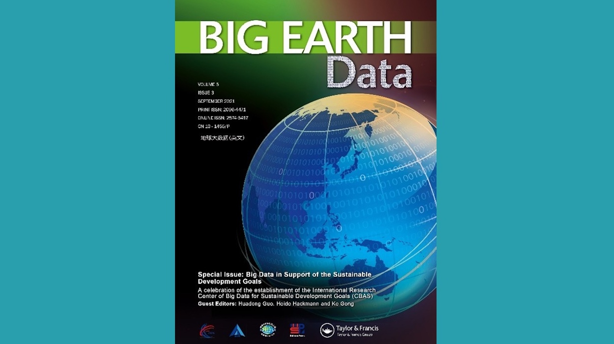
 Special Issue on Big Data in Support of the Sustainable Development Goals is now Online
Big Earth Data has published a special issue on Big Data in Support of the Sustainable Development Goals to celebrate the launch of the International Research Center of Big Data for Sustainable Development Goals (CBAS).
03 Sep 2021 -
 Second Conference on Remote Sensing of Vegetation Pests and Diseases Held Online
The second conference on remote sensing of vegetation pests and diseases was held online on August 28, 2021. The two-day event was attended by government officials, experts, scholars, and industry representatives, bringing more than 60,000 online visits.
03 Sep 2021 -
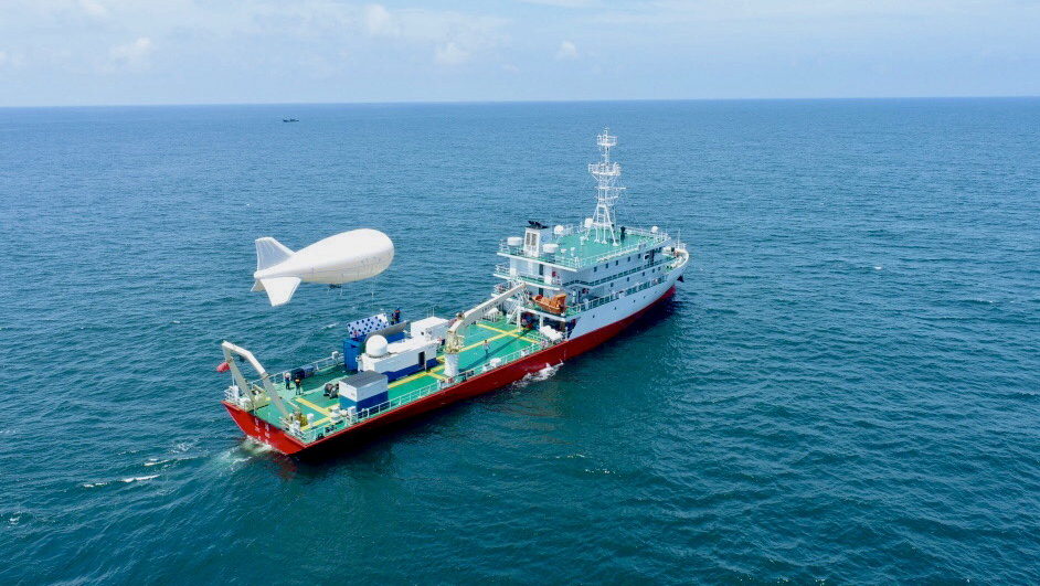
 Shipboard Tethered Balloon Platform Tested for Emergency Communication
An experiment was carried out in Zhoushan adjacent sea area of East China Sea on August 16-19 to test the "Smart Ocean" emergency communication network through a shipboard tethered balloon platform developed by the Aerospace Information Research Institute (AIR), Chinese Academy of Sciences (CAS).
24 Aug 2021 -
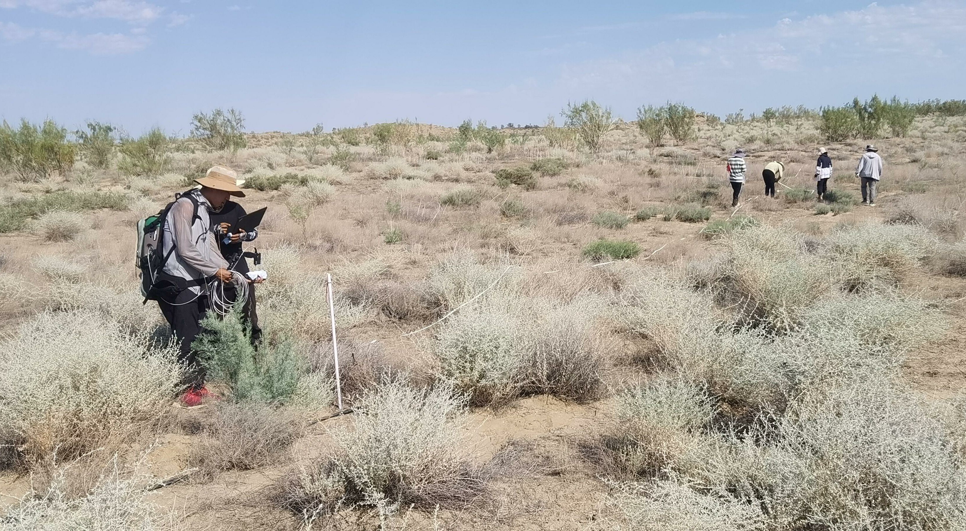
 AIR Organizes Joint experiment to Validate Satellite Data Application for Agriculture and Desert Ecology
From July 23 to August 4, the Aerospace Information Research Institute (AIR) under the Chinese Academy of Sciences (CAS) led a joint experiment in northwest of China to valid the domestic satellite data, specifically its application in the field of agriculture and desert ecology.
15 Aug 2021 -
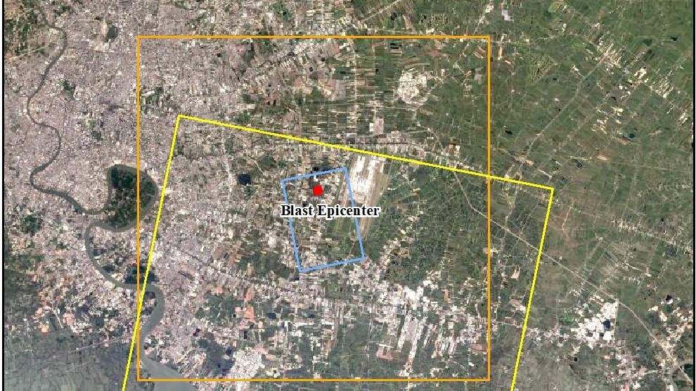
 China GEO Supports Thai Chemical Factory Explosion Disaster Response
Responding to requests from the United Nations Economic and Social Commission for Asia and the Pacific (UNESCAP) and the Geo-Informatics and Space Technology Development Agency (GISTDA), ChinaGEO Secretariat activated its Disaster Data Response (CDDR) Mechanism to provide high-resolution satellite imagery in support of disaster response.
03 Aug 2021 -
 2020 Impact Factor of Microsystems & Nanoengineering Rises to 7.127
According to a recent report on Journal Citation from the Clarivate Analytics, the 2020 Impact Factor of Microsystems & Nanoengineering (English) has reached a new high, 7.127, with a 5-year Impact Factor of 6.955. The new impact factor ranks No. 4 in JCR INSTRUMENTS & INSTRUMENTATION subject and maintains Q1 area.
02 Jul 2021


