


Newsroom
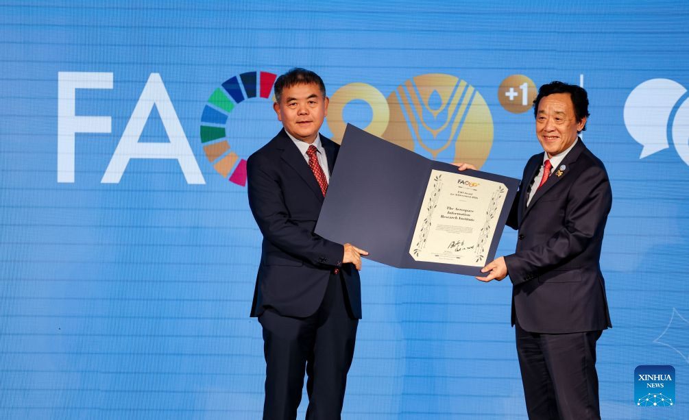
ROME, Oct. 16 (Xinhua) -- The Aerospace Information Research Institute of the Chinese Academy of Sciences (AIRCAS) won the 2026 Food and Agricultur...
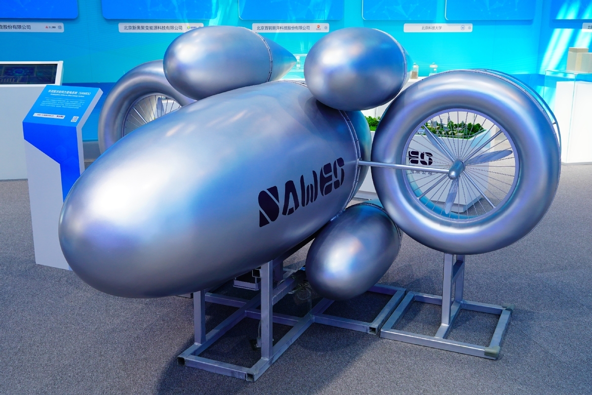
A Chinese-developed airborne wind power system has completed a full-cycle test at an altitude of 4,000 meters, marking a step toward the engineerin...
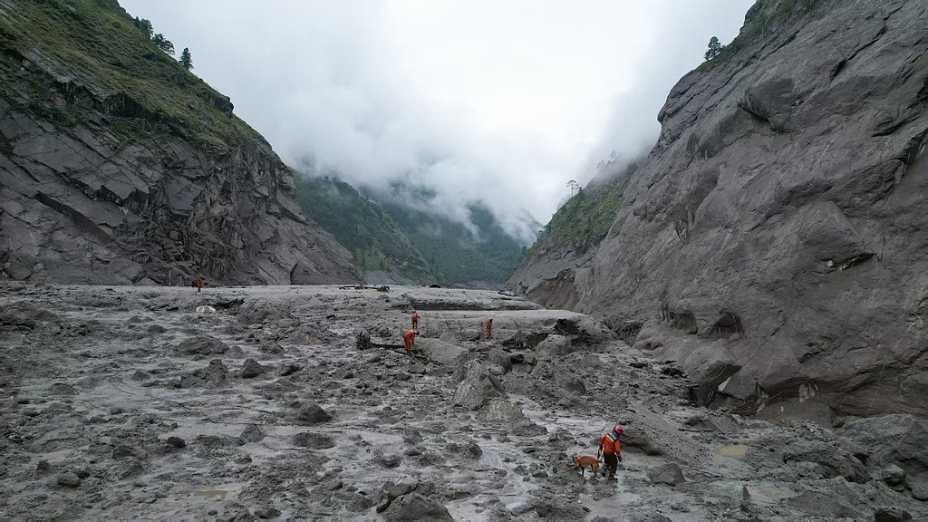
The catastrophic mudslide that struck the China-Nepal border on August 26 was triggered by a large-scale glacier collapse in Nepal with a close lin...
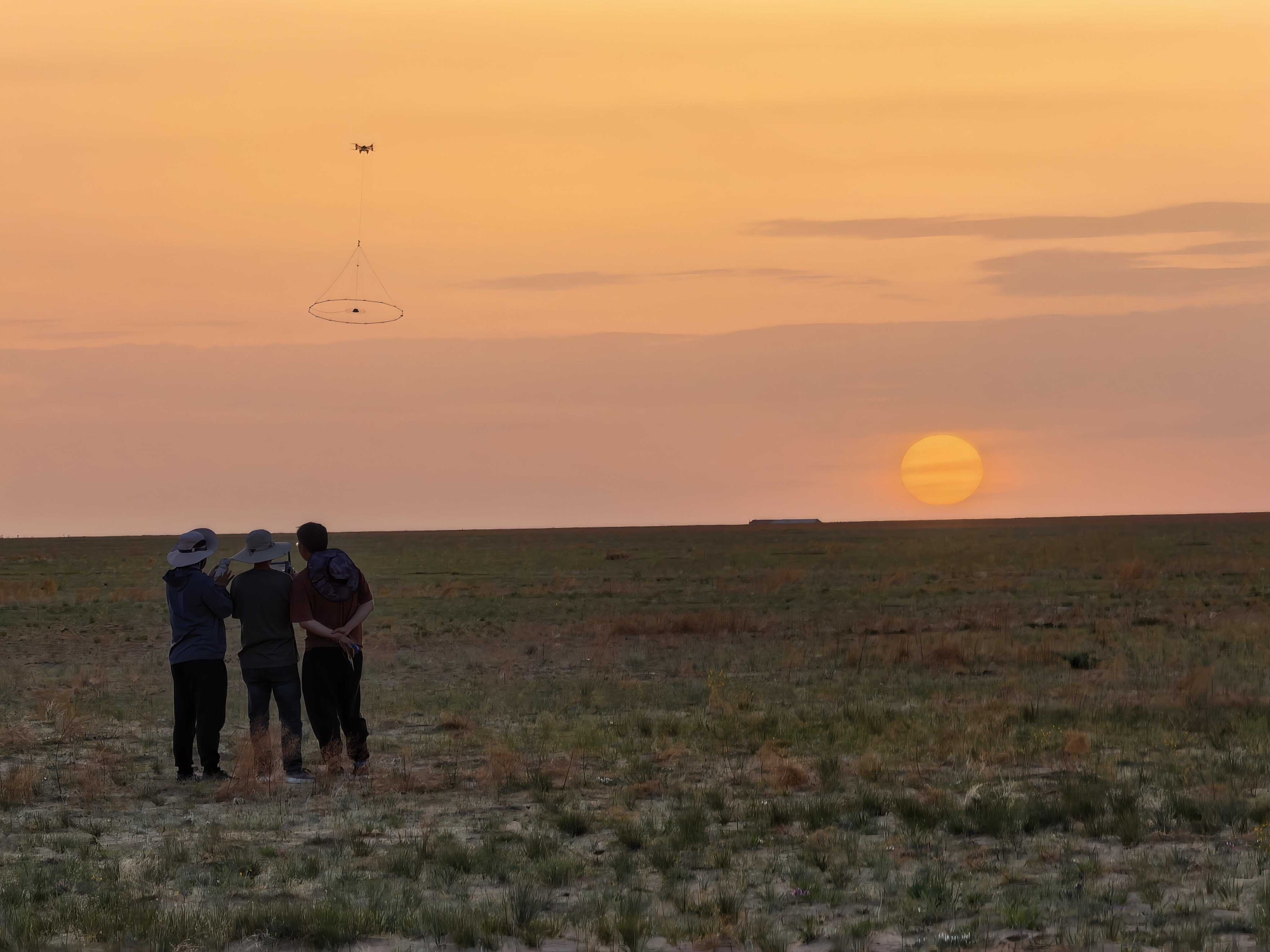
A research team led by Prof. LIU Lihua from the Aerospace Information Research Institute of the Chinese Academy of Sciences (AIRCAS) has recently c...
RESEARCH NEWS
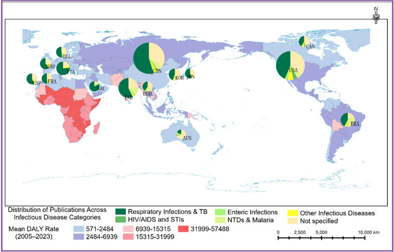
Artificial intelligence is becoming an important tool in infectious disease research, but research attention does not always match the needs of the...
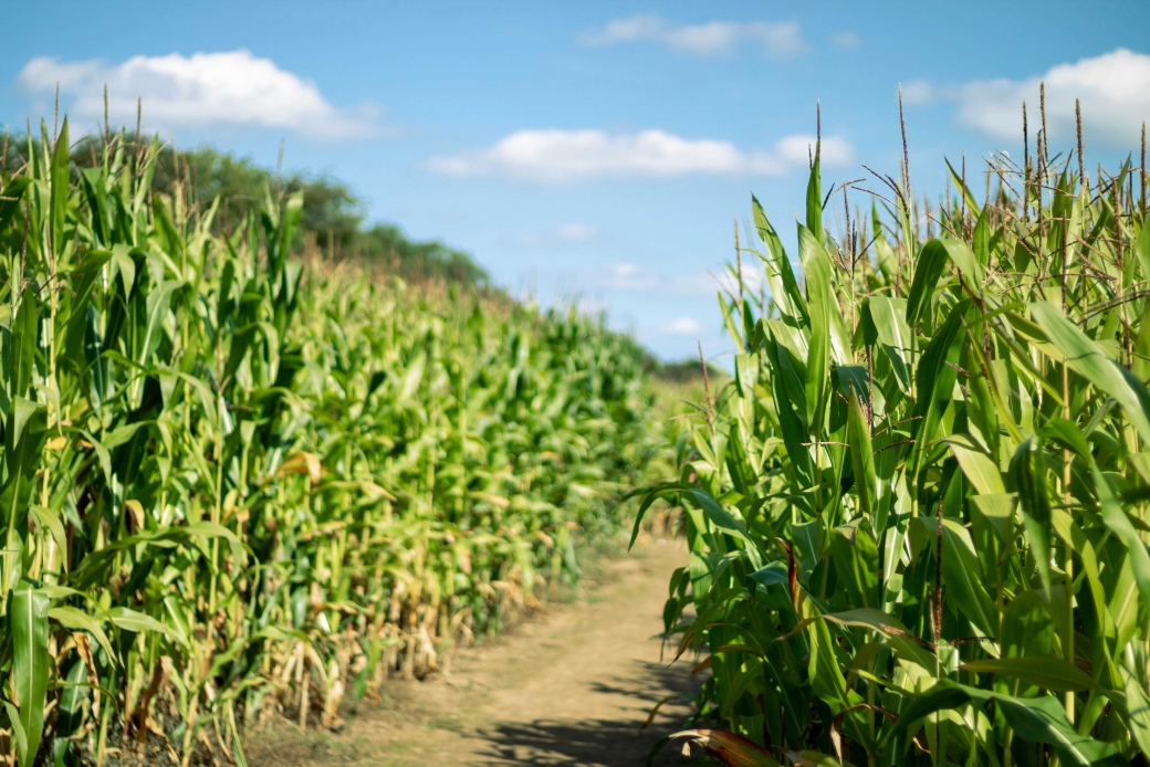
A 10 m resolution maize yield dataset covering Northeast China from 2019 to 2024 has recently been released, providing detailed information on maiz...
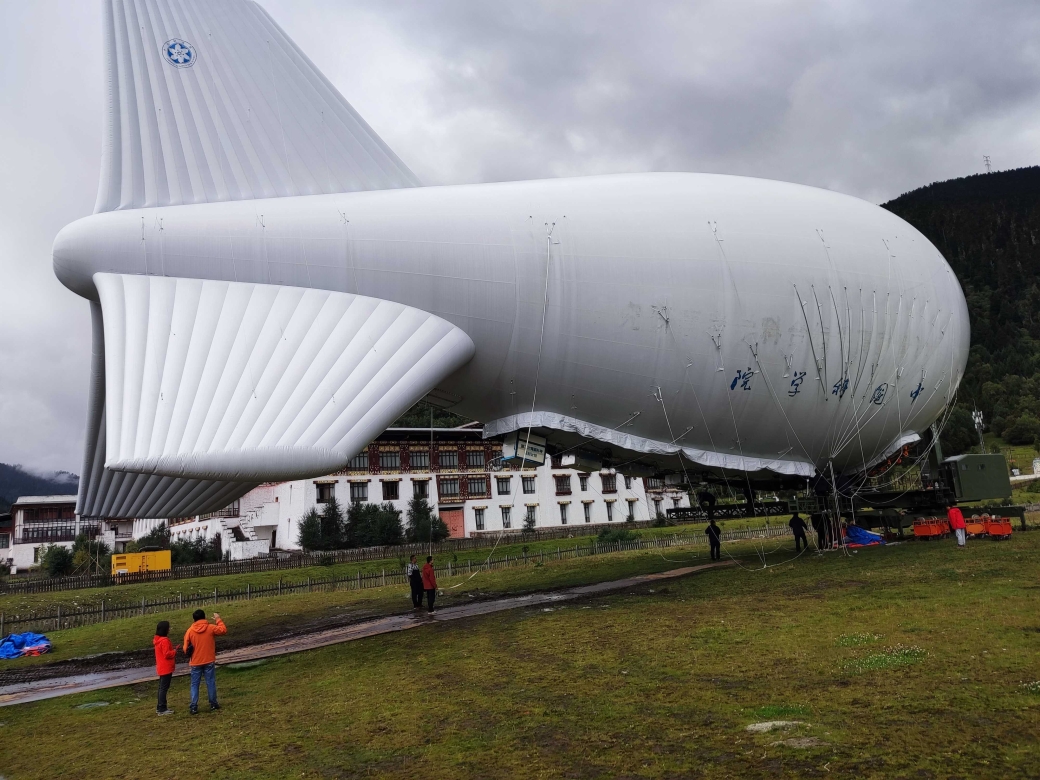
Scientists have used a tethered balloon to measure cloud droplets, aerosols, and electric fields over the Qinghai-Xizang Plateau, revealing links b...
NEWS UPDATES

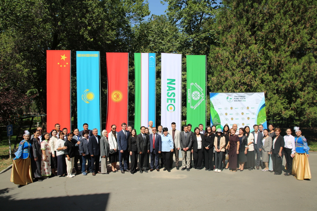

EVENTS
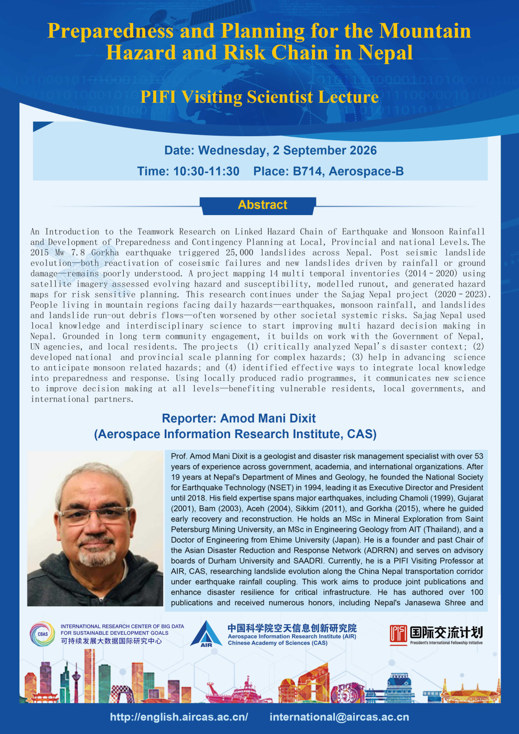
- 02 Sep 2026 PIFI Seminar: Preparedness and Planning for the Mountain Hazard and Risk Chain in Nepal
- 02 Sep 2026 PIFI Seminar: Remote Sensing-Based Evaluation of Rice Crop Responses to Drought Stress in the Coastal Region of Bangladesh Delta
- 17 Aug 2026 FIRST ANNOUNCEMENT and CALL FOR SESSIONS and ABSTRACTS for DBAR2026 and ISEO2026
- 16 Jul 2025 PIFI Seminar: A Threefold Approach for Acceleration of Sustainable Development Goals and Their Modelling PIFI Seminar

