

Newsroom
-
 Field Campaign Conducted for SDGSAT-1 TIS Radiometric Calibration
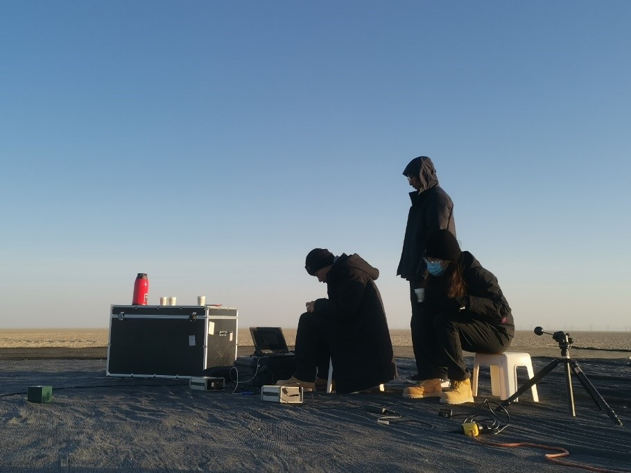
A radiometric calibration team of the International Research Center of Big Data for Sustainable Development Goals (CBAS) went to Dali, Yunnan Province to carry out the vicarious radiometric calibration experiments of thermal infrared sensor (TIS) onboard the SDGSAT-1 satellite during its on-orbit operation from December 01 to 24, 2022.
05 Jan 2023 -
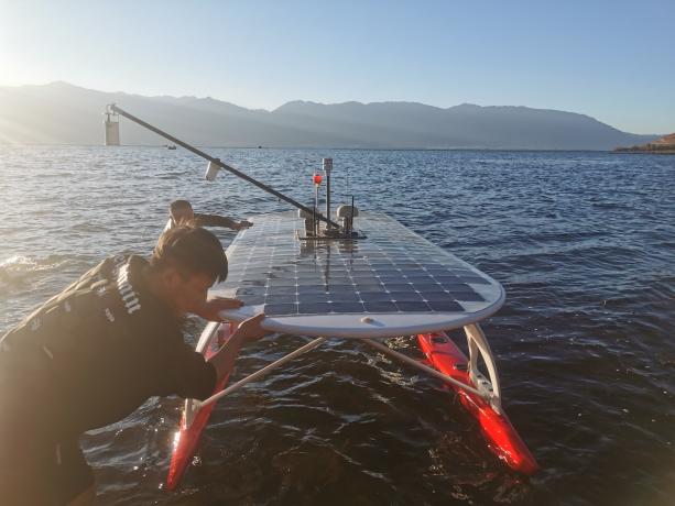
 Field Campaign Conducted to Calibrate SDGSAT-1
A radiometric calibration team of the International Research Center of Big Data for Sustainable Development Goals (CBAS) went to Dunhuang, Gansu Province to carry out the vicarious radiometric calibration experiments of the SDGSAT-1 satellite during its on-orbit operation from October 26 to November 30, 2022.
21 Dec 2022 -
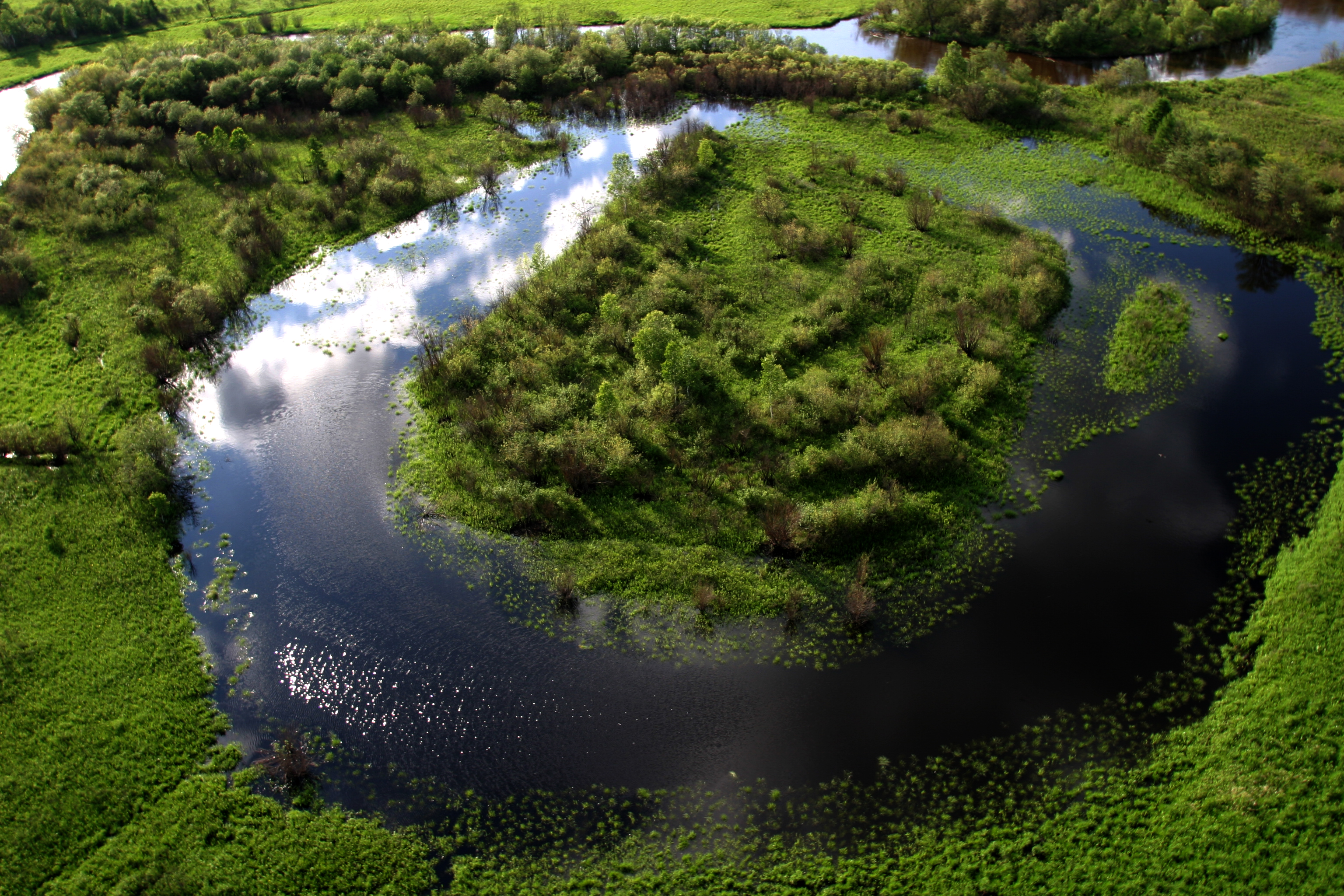
 Lakes on Roof of World Freeze Later and Melt Earlier under Changing Climate
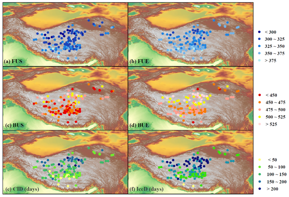
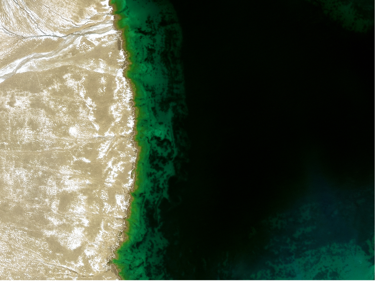
The lakes on the roof of the world show a trend of later freezing-up, earlier breaking-up and thus shorten ice-covered duration since late 1970s, researchers report in the 2nd December Nature Scientific Data. The findings explicitly reflect the changes in thermodynamics of lakes under a warmer climate and implicate substantial associated alteration in biogeochemical processes in the region.
11 Dec 2022 -
 Chinese scientists reconstruct Qinghai-Tibet Plateau lake ice phenology
BEIJING, Dec. 7 (Xinhua) -- Chinese scientists have reconstructed a complete dataset of the lake ice phenology of 132 lakes on the Qinghai-Tibet Plateau from 1978 to 2016, said the Chinese Academy of Sciences (CAS).
07 Dec 2022 -
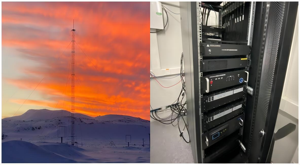 AIR Scientists Design Digital Ionosonde for Meridian Space Weather Monitoring Project
Designed for the "Meridian Space Weather Monitoring Project-II", five digital ionosondes have been installed and start operation at the observatories of this Project, according to the Aerospace Information Research Institute (AIR), Chinese Academy of Sciences (CAS) on November 16,2022.
06 Dec 2022 -
 National Key R&D Program Launched to Boost Protection and Restoration of Ecologically Vulnerable Areas
Five Young Scientist Projects supported by the National Key R&D Program "Ecosystem Protection and Restoration for Typical Ecologically Vulnerable Areas" were launched in Beijing on November 27, 2022, among which two projects are undertook by research teams with the Aerospace Information Research Institute (AIR), Chinese Academy of Sciences (CAS).
03 Dec 2022

