-
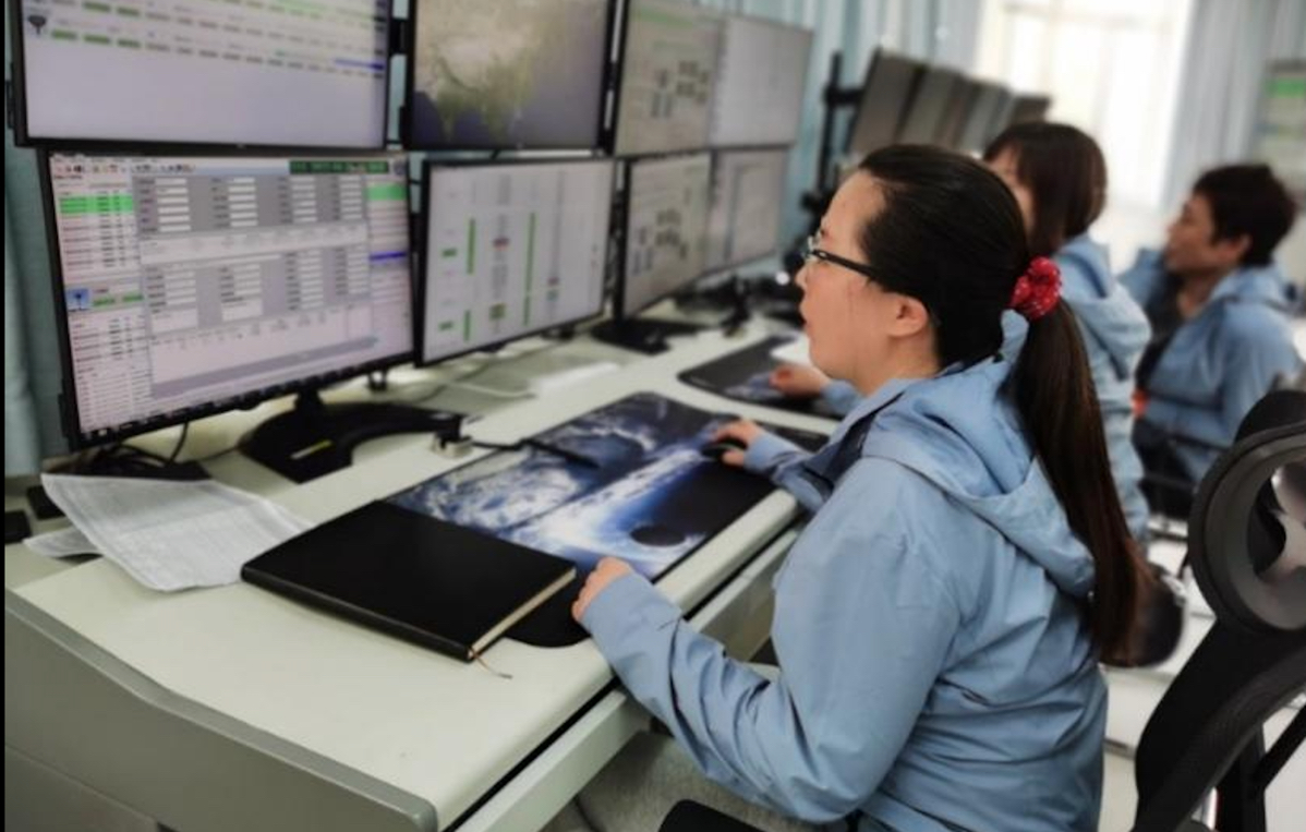 China Receives Data from Atmospheric Environmental Monitoring Satellite
China Remote Sensing Satellite Ground Station (RSGS), a major national S&T infrastructure hosted by the Aerospace Information Research Institute (AIR) under the Chinese Academy of Sciences (CAS), confirmed on April 21 that it received data from the newly launched atmospheric environmental monitoring satellite.
22 Apr 2022 -
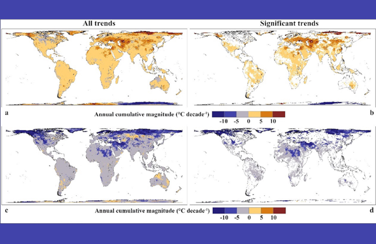 Heat Extremes on the Rise: Climate Study Finds
Temperature extremes with altered characteristics are one of the most threatening impacts of global warming. However, how their characteristics have changed is uncertain, and varies by region. A research article recently published in Communications Earth & Environment, a journal from Nature Research, provided for the first time a panoramic view of global patterns and trends of Temperature Extreme Events (TEEs) with both heat and cold extremes considered, of heat vs. cold extremes, and of compound TEEs.
11 Apr 2022 -
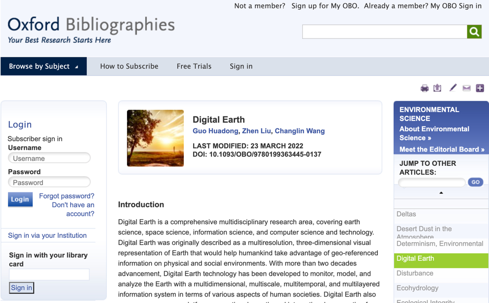 “Digital Earth” Entry Published by Oxford Bibliographies
The "Digital Earth" entry was published by Oxford Bibliographies Online on March 23, 2022.The “Digital Earth” entry is authored by Prof. GUO Huadong , LIU Zhen, and WANG Changlin from the International Society for Digital Earth, which was founded in Beijing China in 2006 to promote academic exchange, S&T innovation, education, and international collaboration towards Digital Earth.
02 Apr 2022 -
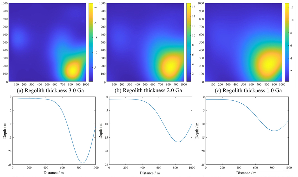 Study Reveals Lunar Regolith Evolution Process on Chang'e-4 Landing Area
A research team led by Prof. DI Kaichang from the Aerospace Information Research Institute (AIR) of the Chinese Academy of Sciences (CAS) and collaborators have established an evolution model with simple craters in the Chang'e-4 landing area. The research results reveal the evolution process of lunar regolith and quantifies the overturning and mixing effect of small simple impact events on lunar regolith.
27 Mar 2022 -
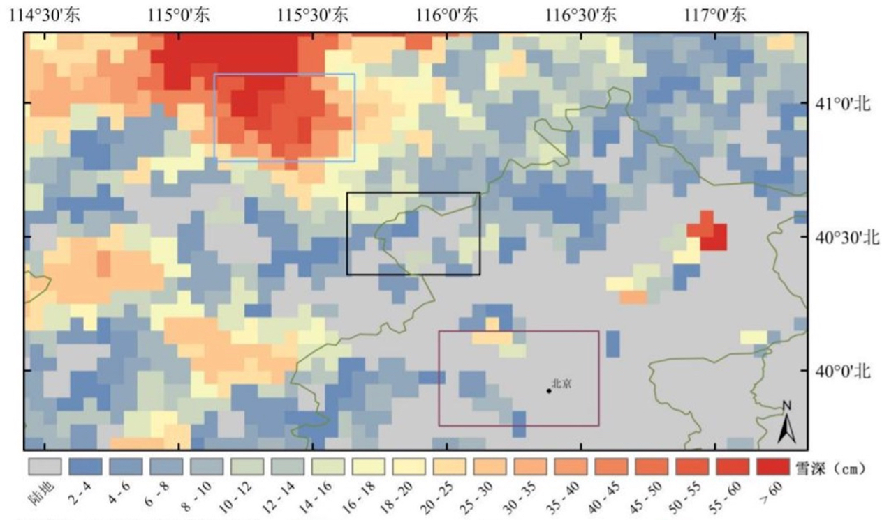 Remote Sensing Facilitates Snow and Ice Occurrents Management of China
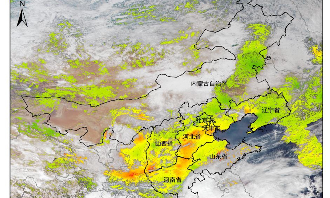
Several cold waves swept across most parts of China since November 2021, causing record-hit snowfall and plummeting temperature. A research team led by Dr. QIU Yubao from the Aerospace Information Research Institute (AIR), Chinese Academy of Sciences (CAS), in collaboration with the National Disaster Reduction Center of China, provided remote sensing service on snow and ice as an emergency management approach for the occurrences of snow in northern China, as well as the snow and freezing rain in southern China from November 2021 to the end of February 2022.
16 Mar 2022 -
 CAS Scientists Contribute to Beijing’s Blue Skies for 2022 Winter Olympics and Paralympics
Beijing, as the host city for the 2022 Winter Olympics and Paralympics, has seen continuous blue skies greeting Olympic athletes last and this month.
11 Mar 2022


