

Newsroom
-
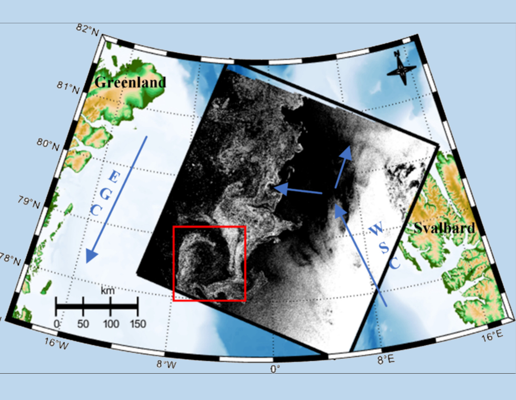 Satellite Radar Captures Hidden Dynamics of Arctic Eddies
A research team from the Aerospace Information Research Institute of the Chinese Academy of Sciences (AIRCAS) developed a satellite-based method to analyze the life cycle of ocean eddies forming along Arctic sea-ice edges. By combining sequential synthetic aperture radar (SAR) images with hydrodynamic modeling, the researchers reconstructed surface current fields and retrieved key dynamical parameters of a polar eddy throughout its evolution. The approach provides new insights into ice-edge ocean dynamics and offers a powerful tool for studying interactions between sea ice, ocean circulation, and climate processes.
23 Mar 2026 -
 High-Precision Canopy Height Dataset Illuminates Forest Structure Dynamics in Nanping City, China
Researchers from the Aerospace Information Research Institute of the Chinese Academy of Sciences (AIRCAS), in collaboration with Beijing Normal University and Fujian Normal University, have developed a 10-meter resolution dataset that maps the vertical structure of forests in Nanping City, Fujian Province, China. Covering the years 2022 and 2023, the dataset provides unprecedented insights into the forest canopy height, enabling improved biomass and carbon stock estimations.
13 Mar 2026 -
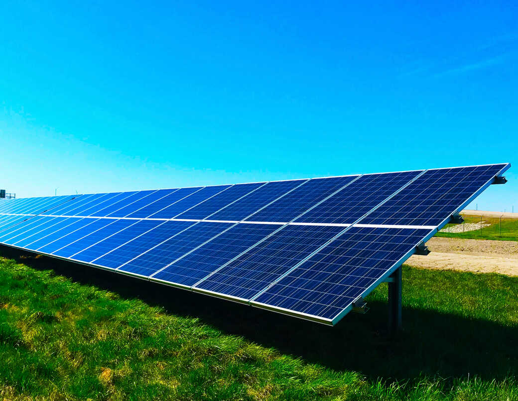 Global Framework Developed for Assessing Solar PV Potential: Enhancing Feasibility and Affordability for Clean Energy Transition
A research team from the Aerospace Information Research Institute of the Chinese Academy of Sciences (AIRCAS), together with the International Research Center of Big Data for Sustainable Development Goals (CBAS) and the Foreign Environmental Cooperation Center of China's Ministry of Ecology and Environment, has developed a detailed, global framework to evaluate the potential for solar photovoltaic (PV) deployment. The framework, which works at a fine scale of 1-kilometer resolution, evaluates both the technical and economic feasibility of solar PV. The team also released a global dataset that tracks "affordability" from 2013 to 2023, offering valuable information for accelerating clean-energy planning and progress toward UN's Sustainable Development Goal 7 (Affordable and Clean Energy).
09 Mar 2026 -
 Stronger Protection Significantly Enhances Forest Carbon Storage in China's Protected Areas
Researchers from the Aerospace Information Research Institute of the Chinese Academy of Sciences (AIRCAS), in collaboration with the International Research Center of Big Data for Sustainable Development Goals and Aarhus University in Denmark, published a study in Nature Communications on 10 February, 2026. By integrating spaceborne Global Ecosystem Dynamics Investigation (GEDI) lidar observations with simulations from the dynamic vegetation model LPJ-GUESS, the team conducted the first nationwide assessment of the contributions of different categories of protected areas to aboveground forest carbon density. The study further projected future carbon gain potential under different climate scenarios and varying protection intensities.
12 Feb 2026 -
 Satellite Analysis Uncovers Global Threats to World Heritage Sites
A joint research team led by the Aerospace Information Research Institute of the Chinese Academy of Sciences (AIRCAS) has conducted the first global, integrated assessment of disaster risks and human pressures affecting UNESCO World Heritage sites. The study found that 41% of these sites worldwide are exposed to significant natural hazards. Furthermore, it provides a systematic evaluation of global progress toward UN Sustainable Development Goal (SDG) 11.4, which aims to strengthen the protection of cultural and natural heritage.
09 Feb 2026 -
 High-Resolution Daily CO₂ Dataset Illuminates Spatiotemporal Dynamics in China
Researchers from the Aerospace Information Research Institute of the Chinese Academy of Sciences (AIRCAS), in collaboration with Chongqing University of Posts and Telecommunications, have developed a high-resolution, daily atmospheric CO₂ dataset for China spanning 2016–2020. The dataset provides unprecedented insights into the spatiotemporal variations of column-averaged dry-air CO₂ mole fraction (XCO₂) and offers a robust data foundation for refined carbon monitoring and management.
09 Feb 2026

