

Newsroom
-
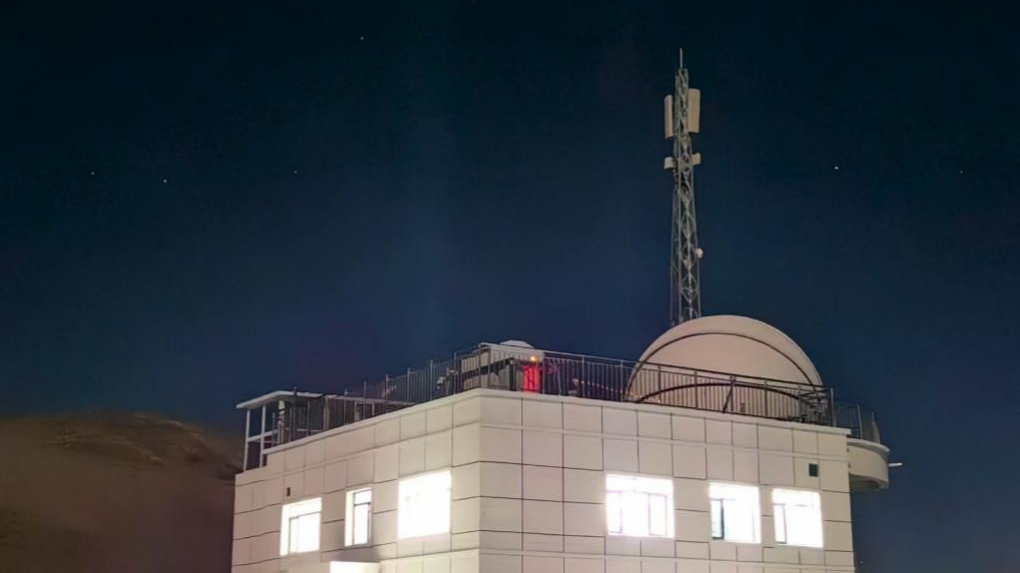 China Hits 120 Gbps in Satellite-to-ground Laser Communications
The Aerospace Information Research Institute (AIR) of the Chinese Academy of Sciences has successfully conducted a business-oriented application experiment in satellite-to-ground laser communications with data rates exceeding 100 Gbps, achieving a peak transmission speed of 120 Gbps.
30 Jan 2026 -
 AI Sharpens Satellite Eyes on Air Pollution
A new artificial intelligence–based approach is enabling more accurate and efficient monitoring of air pollution from space. By combining deep learning with physical radiative transfer modeling, researchers have developed a method that significantly improves the retrieval of atmospheric aerosol properties from complex satellite observations, supporting high-resolution, near-real-time monitoring of haze and dust events.
27 Jan 2026 -
 Earth Observation Reveals Spatial Patterns of Farmland Shelterbelts in Three-North Region of China
As a core component of the Three-North Shelter Forest Program in China's Three-North Region (TNR), farmland shelterbelts (FSs), also known as windbreaks, play a crucial role in reducing wind erosion and preventing soil degradation. However, the large-scale spatial patterns of FSs have remain poorly understood, limiting efforts to upgrade and optimize these systems.
23 Jan 2026 -
 Satellite-based Study Unveils Rapid Groundwater Depletion in High Mountain Asia, Threatening Water Security
A recent satellite-based study published in Environmental Research Letters has revealed alarming declines in groundwater storage across High Mountain Asia (HMA), often called the "Asian Water Tower". This vital water source, which underpins agricultural irrigation, urban water supply, and ecological security for hundreds of millions of people in more than a dozen downstream countries, is depleting at an alarming rate of approximately 24.2 billion tonnes per year.
23 Jan 2026 -
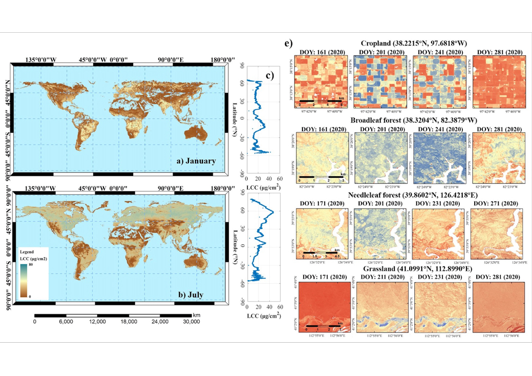 New Global Leaf Chlorophyll Dataset Enables Fine-Scale Vegetation Monitoring
Scientists from the Chinese Academy of Sciences have created the world's first global, high-resolution map of leaf chlorophyll content (LCC), offering a new way to closely track plant health and ecosystem productivity across the planet.
19 Jan 2026 -
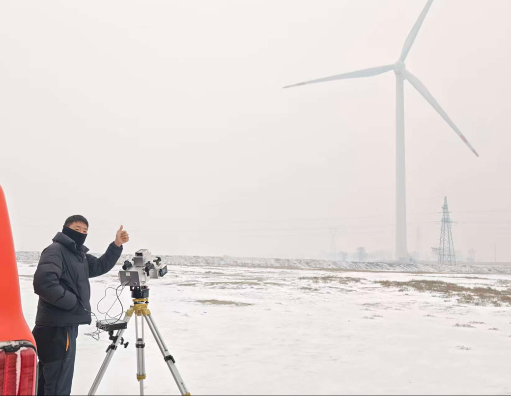 Aerospace Technologies Empower Data-Driven Wind Farm Management
Researchers from the Aerospace Information Research Institute of the Chinese Academy of Sciences (AIRCAS) have recently completed field validation of China’s first intelligent multi-parameter wind turbine diagnostic system, achieving non-stop, non-contact, intelligent, and real-time health monitoring of wind turbine blades. The system fills a key technological gap in intelligent operation and maintenance of wind power equipment in China.
15 Jan 2026

