-
 China Receives Data from Newly-Launched Environment Monitoring Satellites
BEIJING, Sept. 29 (Xinhua) -- China Remote Sensing Satellite Ground Station has received data from two newly-launched environment monitoring satellites, sources with the Chinese Academy of Sciences said Tuesday.
29 Sep 2020 -
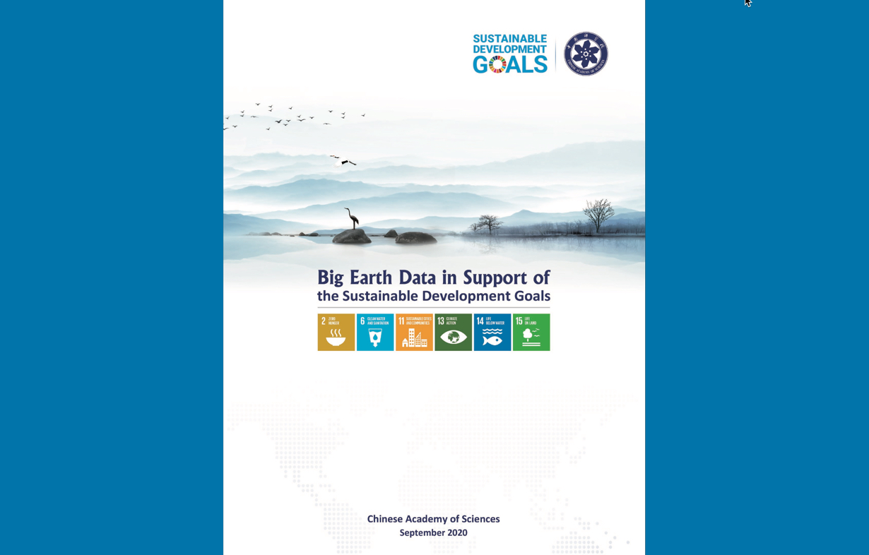 2020 Report on Big Earth Data in Support of the Sustainable Development Goals Released
The report on "Big Earth Data in Support of the Sustainable Development Goals (2020)" was released on September 26, 2020 by the Chinese government at an video-conference on Poverty Eradication and South-South Cooperation, on the occasion of the 75th anniversary of the founding of the United Nations.
27 Sep 2020 -
 CAS to Launch Int’l Research Center of Big Data for SDGs
China will set up an International Research Center of Big Data for Sustainable Development Goals (SDGs) to facilitate the implementation of the UN 2030 Agenda, announced Chinese President XI Jinping during his UN General Assembly address on September 22, 2020.
26 Sep 2020 -
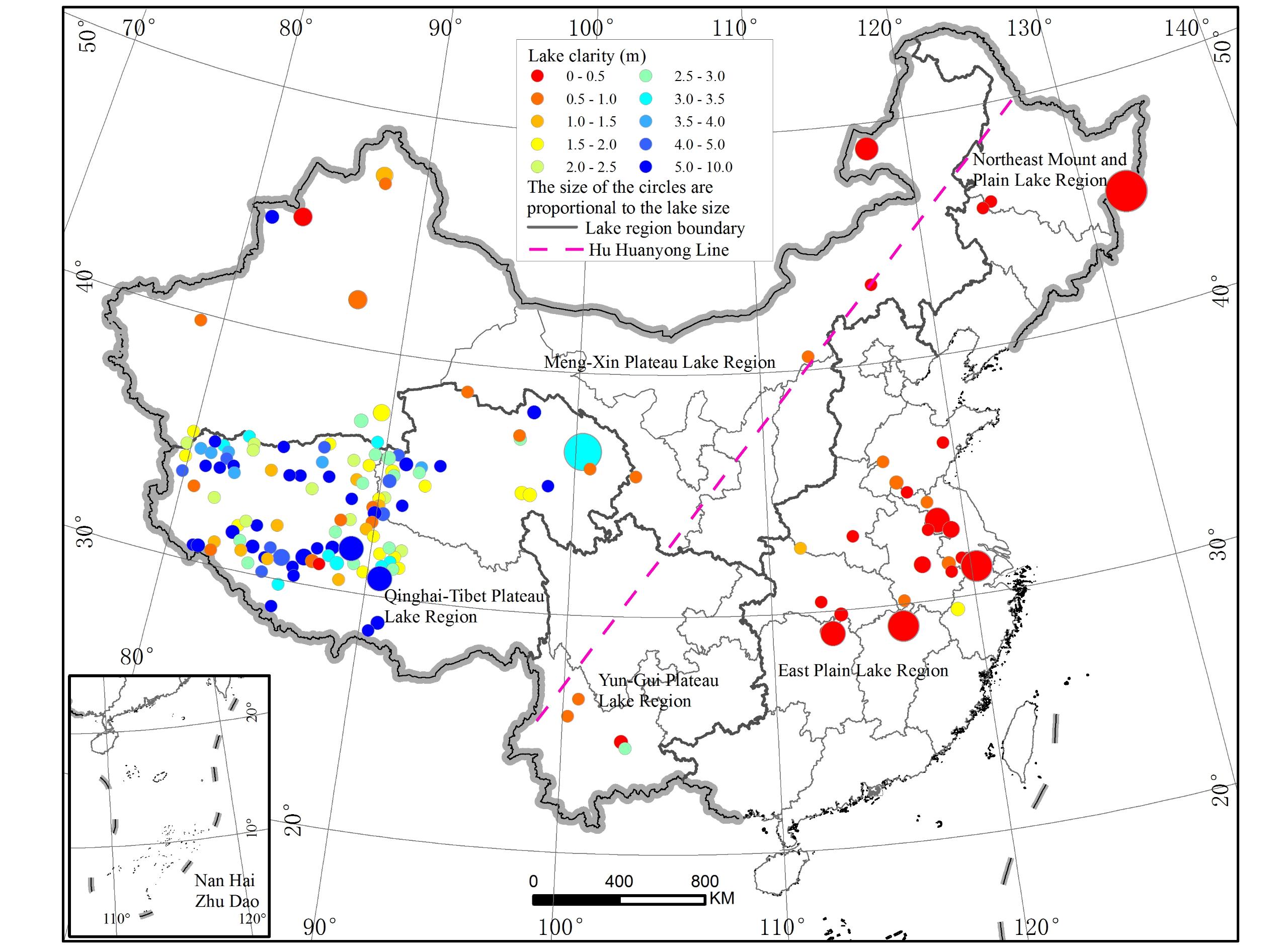 Remote Sensing Study Reveals Increasing Water Clarity of China's Lakes
The water clarity of lakes across China shows a significant spatial pattern of “higher in the West while lower in the East”, and an overall ever-increasing water clarity over the past two decades, according to a research based on remote sensing algorithm on MODIS measurements for 153 large lakes and reservoirs nationwide from 2000 to 2017.
15 Sep 2020 -
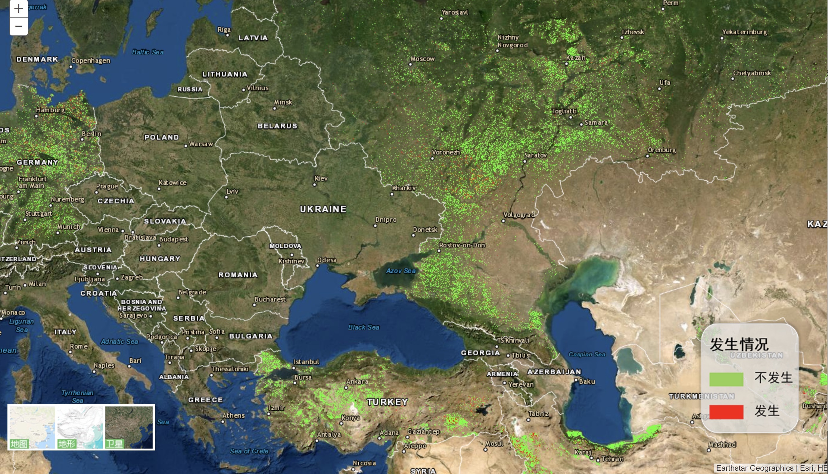 Chinese Institute Introduces Remote Sensing to Forecast Pest Attacks
BEIJING, Aug. 31 (Xinhua) -- China has launched a remote sensing system for plant pests and disease monitoring and forecasting, according to the Aerospace Information Research Institute of the Chinese Academy of Sciences.
31 Aug 2020 -
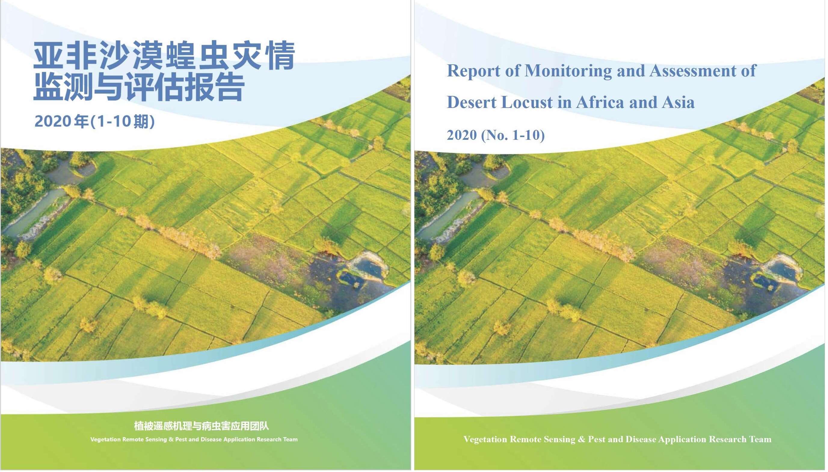 Chinese Researchers Release Reports on Desert Locusts in Asia and Africa
Researchers from the Aerospace Information Research Institute of the CAS drafted a report on the core breeding areas and migration path of desert locusts in Asia and Africa between 2018 and 2020, as well as assessment of losses to agriculture and animal husbandry caused by desert locusts in hard-hit countries including Pakistan, Ethiopia and Kenya.
17 Aug 2020


