

Newsroom
-
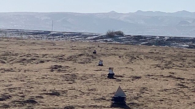 AIR Conducts Airborne SAR Load Calibration Experiment
An Airborne SAR Payload Calibration Experiment, organized by a research team from the Key Laboratory of Quantitative Remote Sensing Information Technology under the Aerospace Information Research Institute (AIR), was conducted on the National High-resolution Remote Sensing Integrated Calibration Field from December 16 to 28, 2021. This experiment was commissioned by the Aerospace Microwave Remote Sensing System Department of AIR.
14 Jan 2022 -
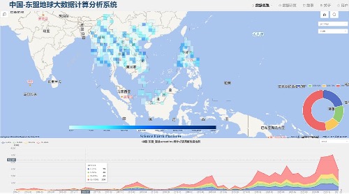 Project Progress on China-ASEAN Big Earth Data Platform and its Pilot Applications
The "China-ASEAN Big Earth Data Platform and its Pilot Applications (CADA)" Project annual meeting was held on December 17, 2021, in Beijing and Guilin separately.
05 Jan 2022 -
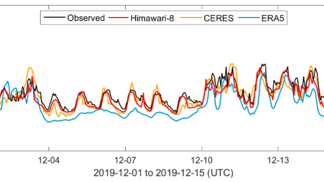 Study Provides New Benchmark for Surface Radiation Product over East-Pacific Region
Prof. Husi Letu from the Aerospace Information Research Institute, Chinese Academy of Sciences,and his team on cloud remote sensing recently published a paper entitled "A new benchmark for surface radiation products over the East Asia-Pacific region retrieved from the Himawari-8" in the Bulletin of the American Meteorological Society (BAMS),a flagship journal of the American Meteorological Society.
29 Dec 2021 -
 China Unveils First Images Taken by Satellite SDGSAT-1
A group of images taken by Chinese satellite SDGSAT-1 to help meet UN Sustainable Development Goals (SDGs) were unveiled in Beijing on Monday.
20 Dec 2021 -
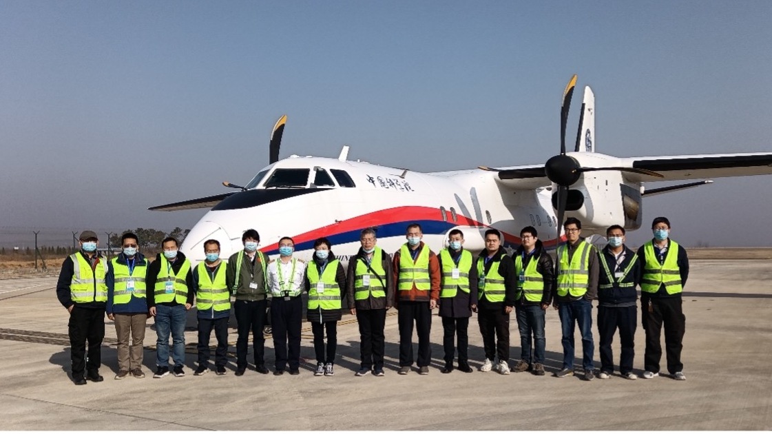 Airborne Remote Sensing Experiment Completed on Home-grown MA60 Aircraft
With the landing of a MA60 aircraft, a comprehensive remote sensing experiment wrapped up in Rizhao, Shandong Province on November 30, 2021.
10 Dec 2021 -
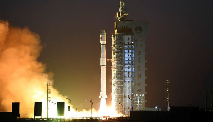 GF-3 02 Satellite Launched to Boost Land-Sea Observations
GF-3 02 satellite is equipped with multi-polarized C-band SAR (Synthetic Aperture Radar) which was developed by a research team from the Aerospace Information Research Institute (AIR), Chinese Academy of Sciences (CAS).
25 Nov 2021

