-
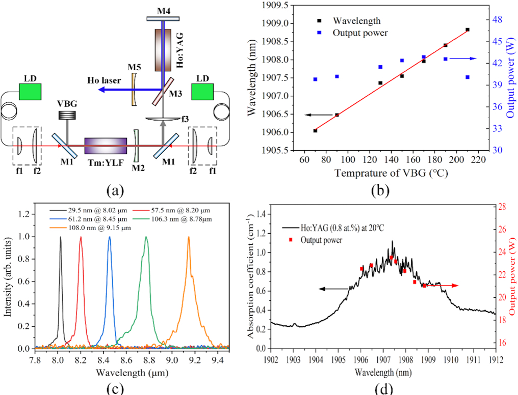 Researchers Develop High-efficiency Mid- and Long-wave Optical Parametric Oscillator Pump Source
A study published in Scientific Reports describes a high-efficiency mid- and long-wave optical parametric oscillator pump source: Ho: YAG laser, the system achieves high-efficiency 2.1 μm laser output by scanning and optimizing the pump laser wavelength.
13 Feb 2023 -
 AIR Launches Interdisciplinary Project on High-resolution Sensing and Electrical Stimulation of Sleep-wake Neural Electrical Activity
A major interdisciplinary project "Research on high-resolution sensing and electrical stimulation of sleep-wake neural electrical activity", led by Prof. CAI Xinxia from the Aerospace Information Research Institute (AIR), Chinese Academy of Sciences (CAS), in collaboration with Fudan University, Zhejiang University and Ruijin Hospital, has been approved by the National Natural Science Foundation of China (NSFC).
19 Jan 2023 -
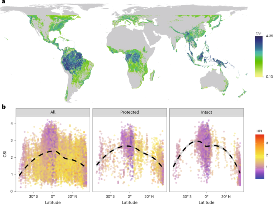 Study Sheds Light on How Human Activities Shape Global Forest Structure
Researchers led by Dr. LI Wang from the Aerospace Information Research Institute (AIR) of the Chinese Academy of Sciences (CAS) have provided, for the first time, a panoramic view of global patterns in the multidimensional structure of forests. As part of their work, the researchers have discerned the relative importance of climate and human impacts as well as other environmental factors in shaping global forest structure, particularly that of PAs and IFLs.
19 Jan 2023 -
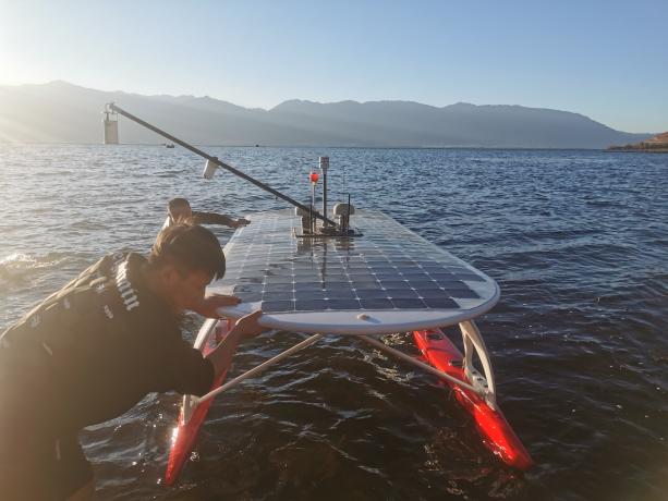 Field Campaign Conducted for SDGSAT-1 TIS Radiometric Calibration
A radiometric calibration team of the International Research Center of Big Data for Sustainable Development Goals (CBAS) went to Dali, Yunnan Province to carry out the vicarious radiometric calibration experiments of thermal infrared sensor (TIS) onboard the SDGSAT-1 satellite during its on-orbit operation from December 01 to 24, 2022.
05 Jan 2023 -
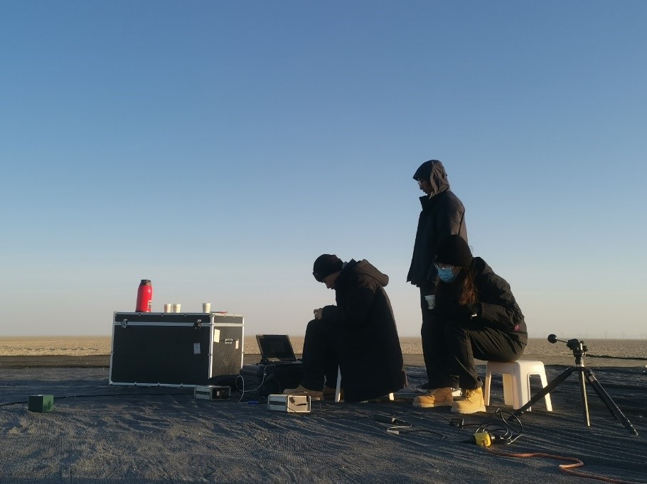 Field Campaign Conducted to Calibrate SDGSAT-1
A radiometric calibration team of the International Research Center of Big Data for Sustainable Development Goals (CBAS) went to Dunhuang, Gansu Province to carry out the vicarious radiometric calibration experiments of the SDGSAT-1 satellite during its on-orbit operation from October 26 to November 30, 2022.
21 Dec 2022 -
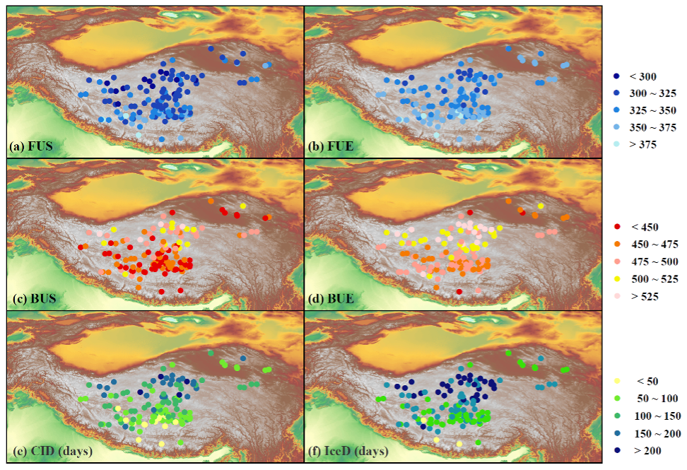 Lakes on Roof of World Freeze Later and Melt Earlier under Changing Climate
The lakes on the roof of the world show a trend of later freezing-up, earlier breaking-up and thus shorten ice-covered duration since late 1970s, researchers report in the 2nd December Nature Scientific Data. The findings explicitly reflect the changes in thermodynamics of lakes under a warmer climate and implicate substantial associated alteration in biogeochemical processes in the region.
11 Dec 2022


