-
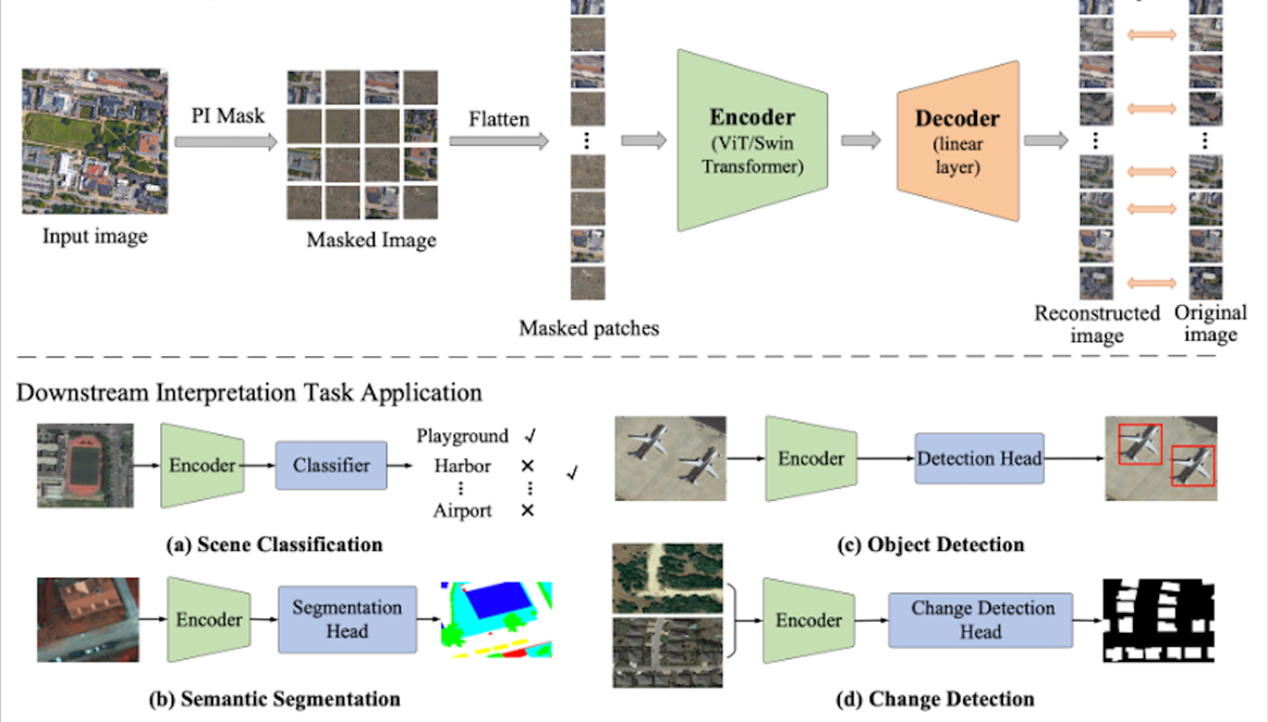 New Foundation Model Improves Accuracy for Remote Sensing Image Interpretation
A new foundation model dubbed RingMo has been developed to improve accuracy for remote sensing image interpretation, according to the Aerospace Information Research Institute (AIR), Chinese Academy of Sciences (CAS).
04 Sep 2022 -
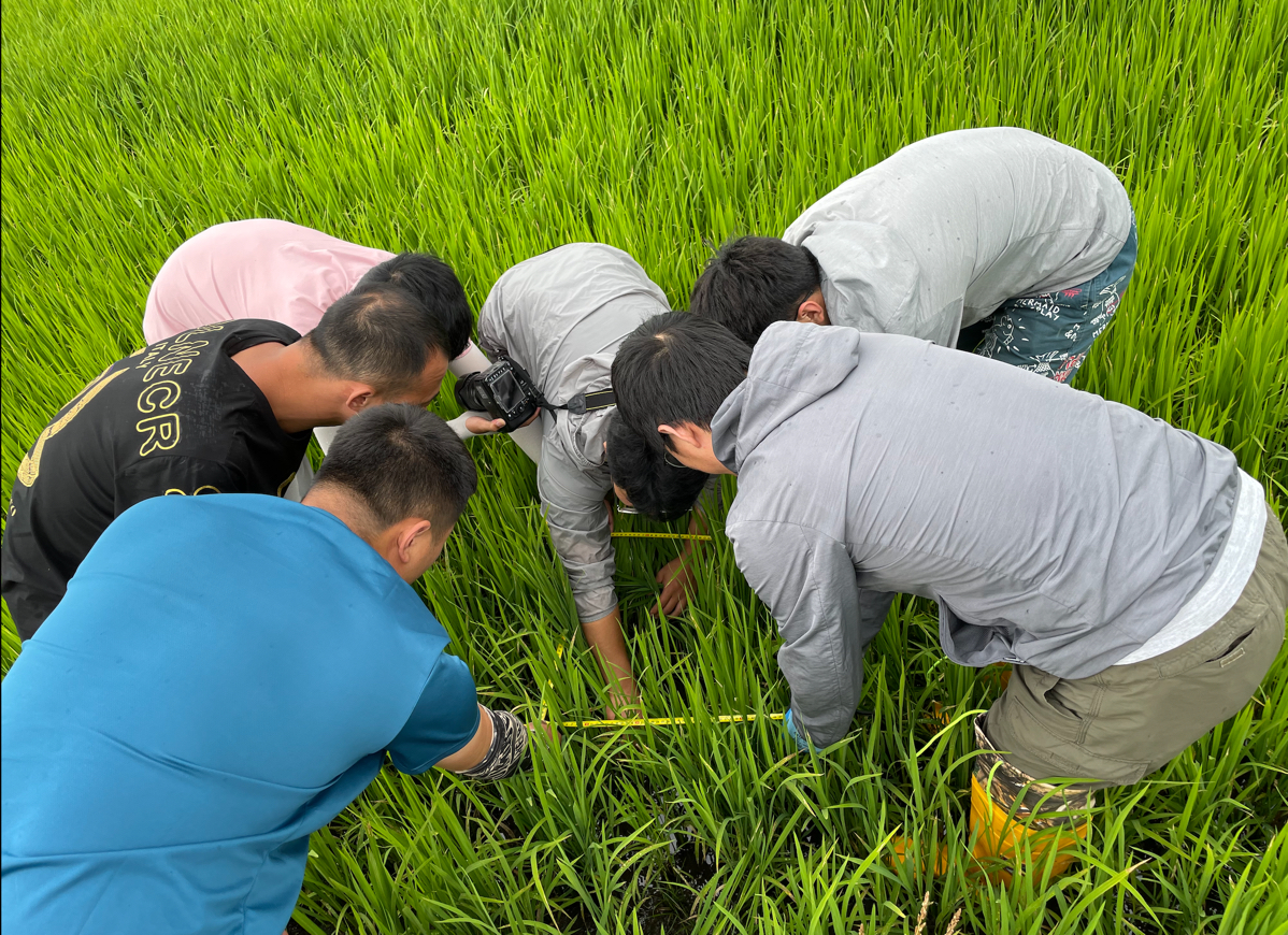 AIR Researchers Carry out Scientific Experiments and Field Surveys for Black Earth Cropland Monitoring
From July 7 to August 8, 2022, multi-dimensional field observation and scientific experiments were conducted in the black earth region of Northeast China by a research team led by Prof. LI Qiangzi from National Engineering Laboratory for Satellite Remote Sensing Applications, Aerospace Information Research Institute (AIR), Chinese Academy of Sciences (CAS).
30 Aug 2022 -
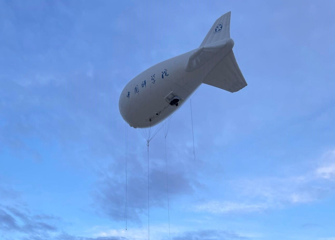 AIR Scientists Conduct Experiments on Monitoring Grassland and Livestock Resources in China
A series of integrated experiments involving unmanned aerial vehicle (UAV), tethered balloon, satellites and in-situ observation were conducted at the Shertala and Hadatu Farms in Hulunbuir Prairie of northern China's Inner Mongolia from June 21 to July 23 to collect remote sensing data and in-situ data,which were used to provide strong data support for grasslands and livestock management and monitoring.
19 Aug 2022 -
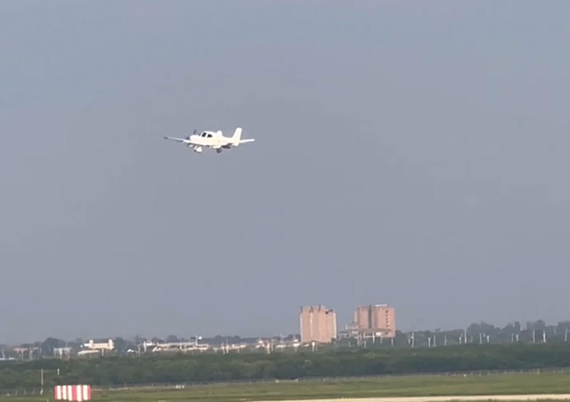 CAS-designed Multi-sensor Unmanned Aircraft System for Weather Modification Makes First Flight
On July 25, 2022, a new unmanned aircraft system (UAS) started its first flight at Pucheng Airport in northwest China's Shaanxi Province to test the performance of onboard remote sensors for weather modification. The flight, lasting one hour and fifteen minutes, marked the success of China's first long-endurance UAS for weather modification.
11 Aug 2022 -
 Advances in Nanosecond Laser Research Power up Equipment Development
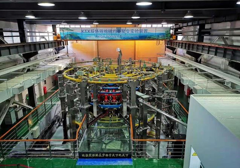
China's laser equipment development for space debris detection as well as Thomson scattering diagnostic of plasma have achieved progresses, thanks to the recent advances in nanosecond laser technology, according to the Aerospace Information Research Institute (AIR), Chinese Academy of Sciences (CAS).
29 Jul 2022 -
 SDGSAT-1 Starts On-orbit Scientific Service
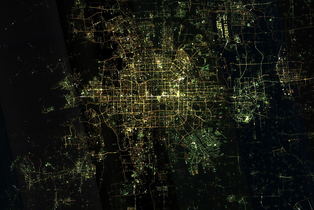
On July 18, China's Earth Science Satellite called Guangmu, or SDGSAT-1, after 6-month on-orbit testing phase, was officially delivered to the International Research Center of Big Data for Sustainable Development Goals (CBAS), marking the start of its on-orbit scientific services.
27 Jul 2022


