-
 AOGEO 2020 Workshops
Asia-Oceania Group on Earth Observations (AOGEO) takes great responsibility in coordinating different stakeholders and activities that focus on regional needs and promote GEO Engagement Priorities in Asia-Oceania region. AOGEO workshop (formerly International AOGEOSS Conference) provides a forum for Asia-Oceania region to exchange scientific and technical views on Earth observations and their applications, and for the global community to learn the progress of AOGEO.
18 Oct 2020 -
 41st Asian Conference on Remote Sensing
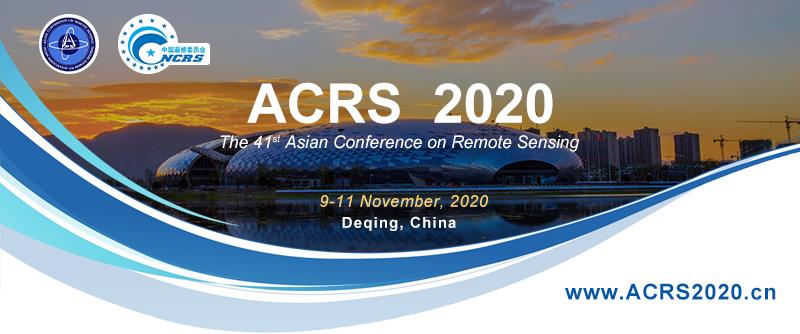
The 41st Asian Conference on Remote Sensing, ACRS 2020, will be held in Deqing, Zhejiang Province, China from 9 to 11 November, 2020. Because of COVID-19 epidemic, the ACRS2020 will be held online. It will also be the First Net conference in ACRS history.
09 Nov 2020 -
 Latest Issue of Satellite Navigation Available
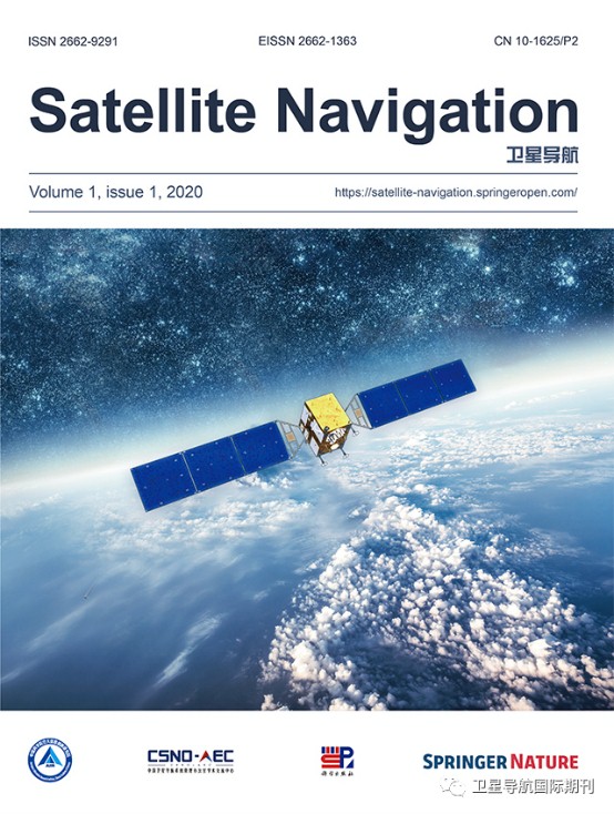
The Journal Satellite Navigation, co-sponsored by the Aerospace Information Research Institute under the Chinese Academy of Sciences and Springer Nature, was officially published in English on 20 January 2020. The peer-reviewed journal is online in an open-access format, marking the first international satellite navigation journal that has ever been published in China.
27 May 2020 -
 2020 Cross Strait Radio Science & Wireless Technology Conference
To promote cross-strait development and cooperation in the field of wireless communications, the 2020 Cross Strait Radio Science and Wireless Technology Conference (2020 CSRSWTC) will be hosted by Aerospace Information Research Institute, Chinese Academy of Science and Technology. It will be held on October 11-14, 2020, in the historical and cultural city, Fuzhou, Fujian.
07 Apr 2020 -
 IPIN 2020:11th International Conference on Indoor Positioning and Indoor Navigation
The 11th IPIN Conference and the 7th IPIN Competition will come to China for the first time to be held in Beijing on September 7-10, 2020. For more information,please visit the conference website:http://ipin2020.beidou.org/
07 Sep 2020 -
 Big Earth Data,Volume 3, Issue 3 Available
Big Earth Data, Volume 3, Issue 3 is now available online. Please enjoy the latest articles and share the interesting knowledge with your research network。 In addition, six special issues listed below are now calling for research articles, review articles, data articles or technical notes. Please choose one that you are interested in and do not hesitate to contact me or the guest editors if you have any ideas to contribute.
22 Oct 2019


