

Newsroom
-
Remote Sensing Reveals Alarming Increase in Global Heat Waves in 2018
In a recent study published in the International Journal of Earth Observation and Geoinformation,researchers from the International Research Center of Big Data for Sustainable Development Goals employed remote sensing technology to investigate the unprecedented surge in heat wave events across the globe in 2018.
25 Dec 2023 -
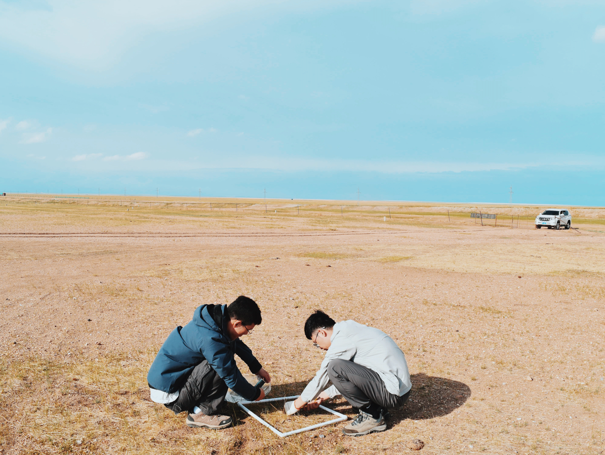 New Model Sheds Light on Grassland Desertification Dynamics
In a recent study published in Remote Sensing on December 13, scientists from the Aerospace Information Research Institute (AIR), Chinese Academy of Sciences(CAS)have employed a Desertification Difference Index (DDI) model to better understand and combat global grassland desertification. The research, centered in Xilingol, northern China’s Inner Mongolia,focused on extracting desertification information using albedo-EVI, revealing insights into the spatial and temporal dynamics of desertified grasslands (DGLs).
21 Dec 2023 -
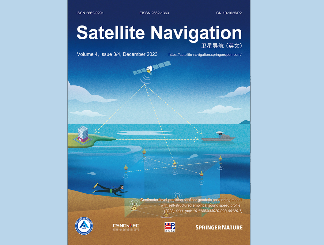 Satellite Navigation Included in SCIE Database
Satellite Navigation, an English-language journal hosted by the Aerospace Information Research Institute (AIR) of the Chinese Academy of Sciences (CAS), has been indexed in the Science Citation Index Expanded (SCIE) database. This inclusion covers all articles published since the journal's inception in 2020.
21 Dec 2023 -
AIR Scientists Harness Ground Penetrating Radar and Transient Electromagnetic Technology for Environmental Litigation Investigation
A collaborative effort involving China’s procuratorate agencies tasked with environmental litigations at national, municipal, and district levels, in conjunction with the Key Laboratory of Electromagnetic Radiation and Detection Technology at the Aerospace Information Research Institute (AIR) of the Chinese Academy of Sciences (CAS), witnessed the application of electromagnetic technology in the investigation of an environmental public interest litigation case, marking the pioneering use of its kind in the country.
17 Dec 2023 -
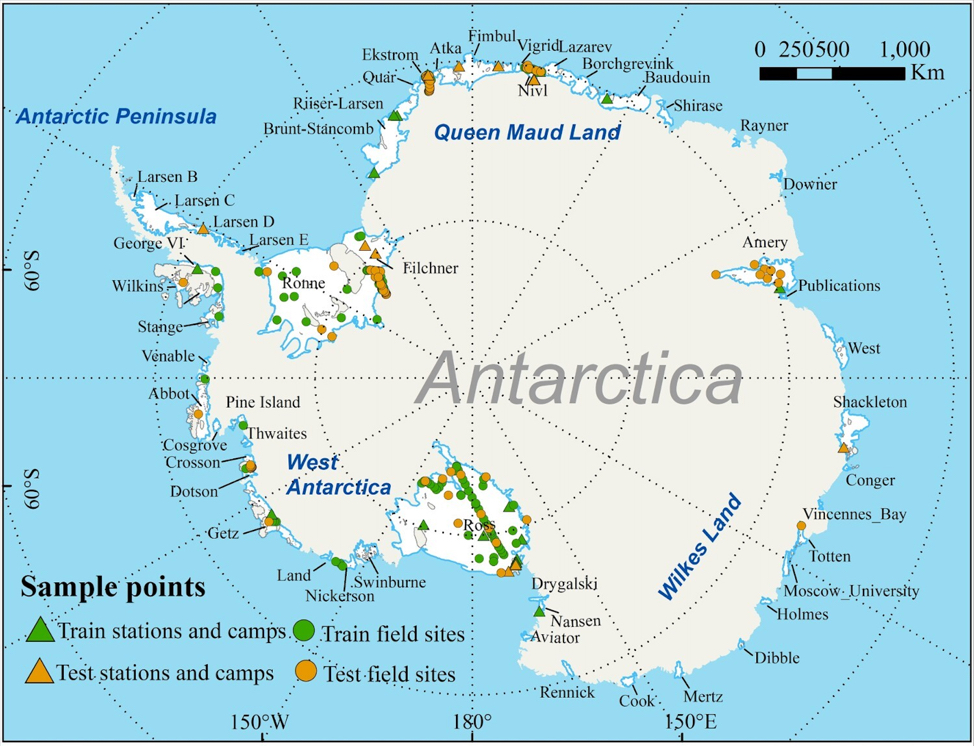 Antarctic Research Unveils New Index for Assessing Human Activity Suitability
In the vast and unforgiving expanse of Antarctica, where human activities are on the rise, researchers from the Key Laboratory of Digital Earth Science with the Aerospace Information Research Institute (AIR) under the Chinese Academy of Sciences (CAS) have introduced a new tool to navigate the challenges posed by the harsh environment. The newly defined Human Activity Suitability (HAS) index aims to provide essential macro-scale information for decision-makers when selecting sites for human activities on Antarctic ice shelves.
17 Dec 2023 -
Survey Sheds Light on Harnessing Digital Public Goods for Sustainable Development Goals
In a recent survey conducted by the International Research Center of Big Data for Sustainable Development Goals (CBAS), 51 experts from various scientific fields worldwide shared their insights on the role of Digital Public Goods (DPGs) in advancing the United Nations Sustainable Development Goals (SDGs). The survey aimed to shed light on defining DPGs and addressing challenges associated with their practical implementation in supporting the SDGs.
11 Dec 2023

