-
Chinese Scientist Invited as Member of ISC Global Commission on Science Missions for Sustainability
According to an announcement of the International Science Council (ISC), the Global Commission on Science Missions for Sustainability was launched on December 9 to press the reset button on efforts to accelerate progress towards the Sustainable Development Goals (SDGs). Prof. GUO Huadong from the Aerospace Information Research Institute (AIR), Director of the International Research Center of Big Data for Sustainable Development Goals (CBAS), was invited to serve as a member of the commission.
17 Dec 2021 -
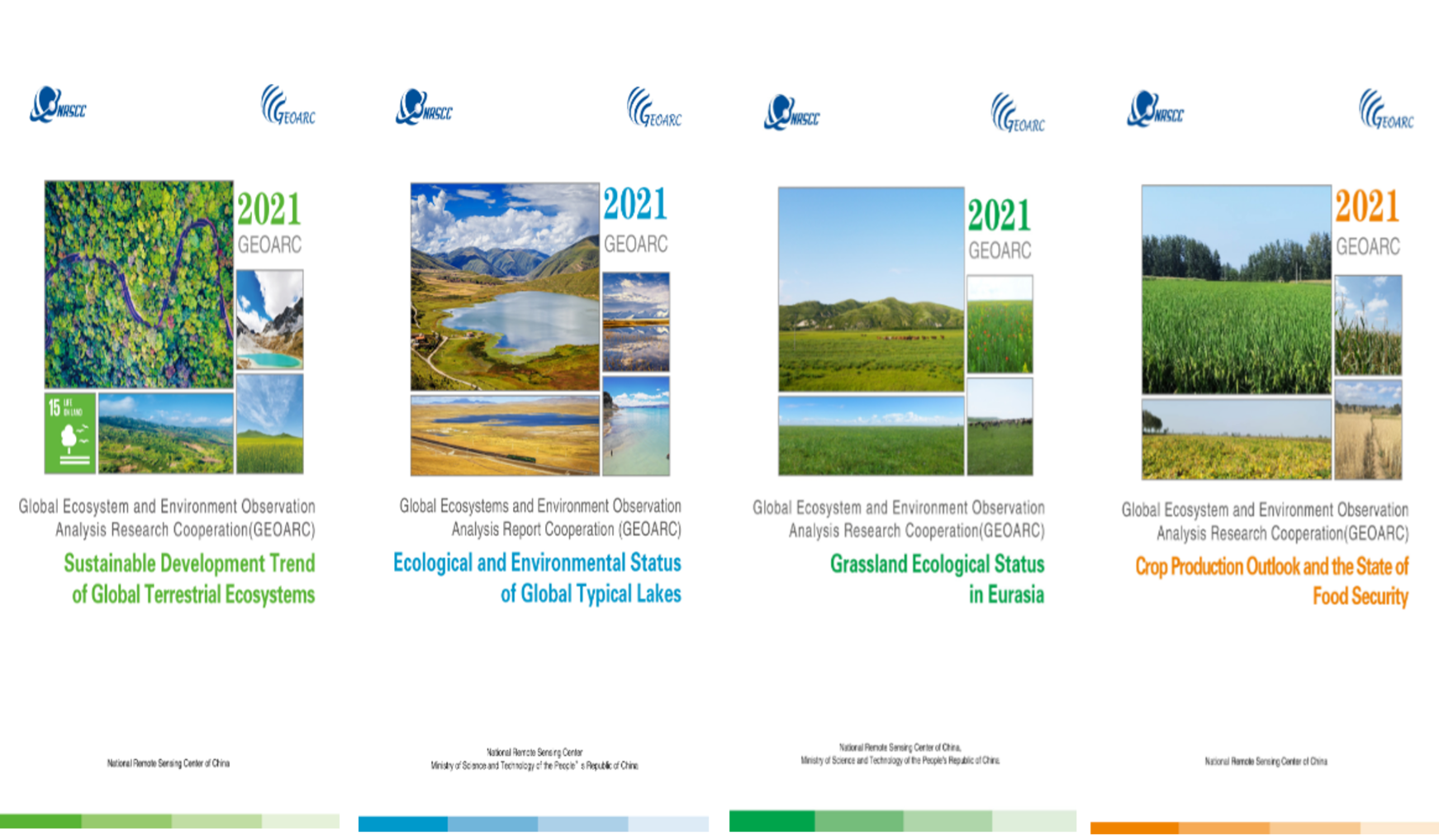
 2021 Annual Reports on Global Ecosystem and Environment Observation Released
China's Ministry of Science and Technology (MOST) released 2021 annual report series to evaluate the latest development trend of global ecosystem and environment.
03 Dec 2021 -
 China Confirms Data Reception from Newly Launched GF-3 02 Satellite
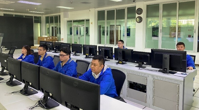
China Remote Sensing Satellite Ground Station (RSGS), a major national S&T infrastructure hosted by the Aerospace Information Research Institute (AIR) under the Chinese Academy of Sciences, confirmed on November 28 that it successfully received data from the newly launched GF3-02 satellite.
01 Dec 2021 -
 Chinese Scientist Wins GEO Individual Excellence Award
According to an announcement released by the Group on Earth Observations (GEO) on November 26, Prof. LI Guoqing from the Aerospace Information Research Institute (AIR), Chinese Academy of Sciences (CAS) won 2021 GEO Excellent Individual Award, marking the first Chinese scientist who wins the honor.
29 Nov 2021 -
 China Launches SDGSAT-1 Science Satellite to Facilitate Global Sustainable Development
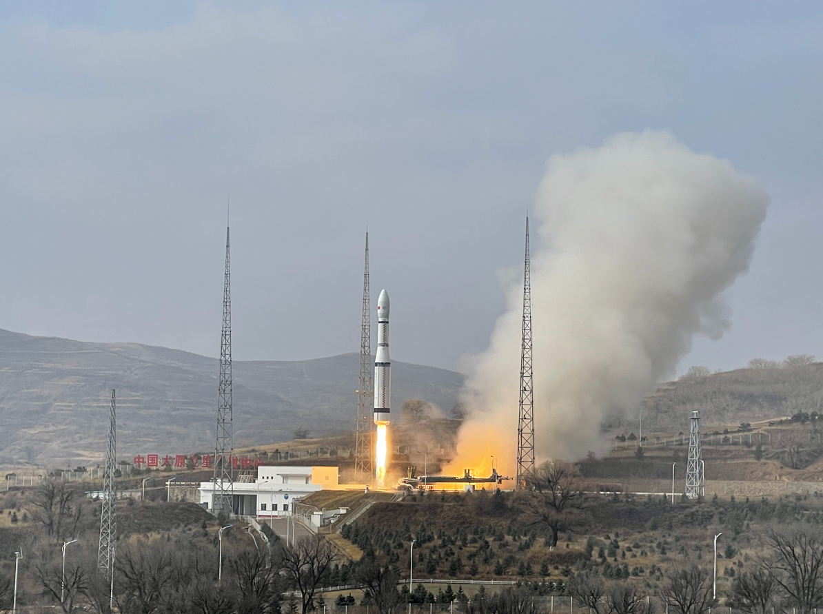
China launched the SDGSAT-1 science satellite into space from the Taiyuan Satellite Launch Center in northern China on November 5, 2021. The satellite was launched aboard the Long March-6(CZ-6) carrier rocket and entered its planned orbit successfully.
05 Nov 2021 -
 Four AIR Research Results Win 2020 National Science and Technology Award
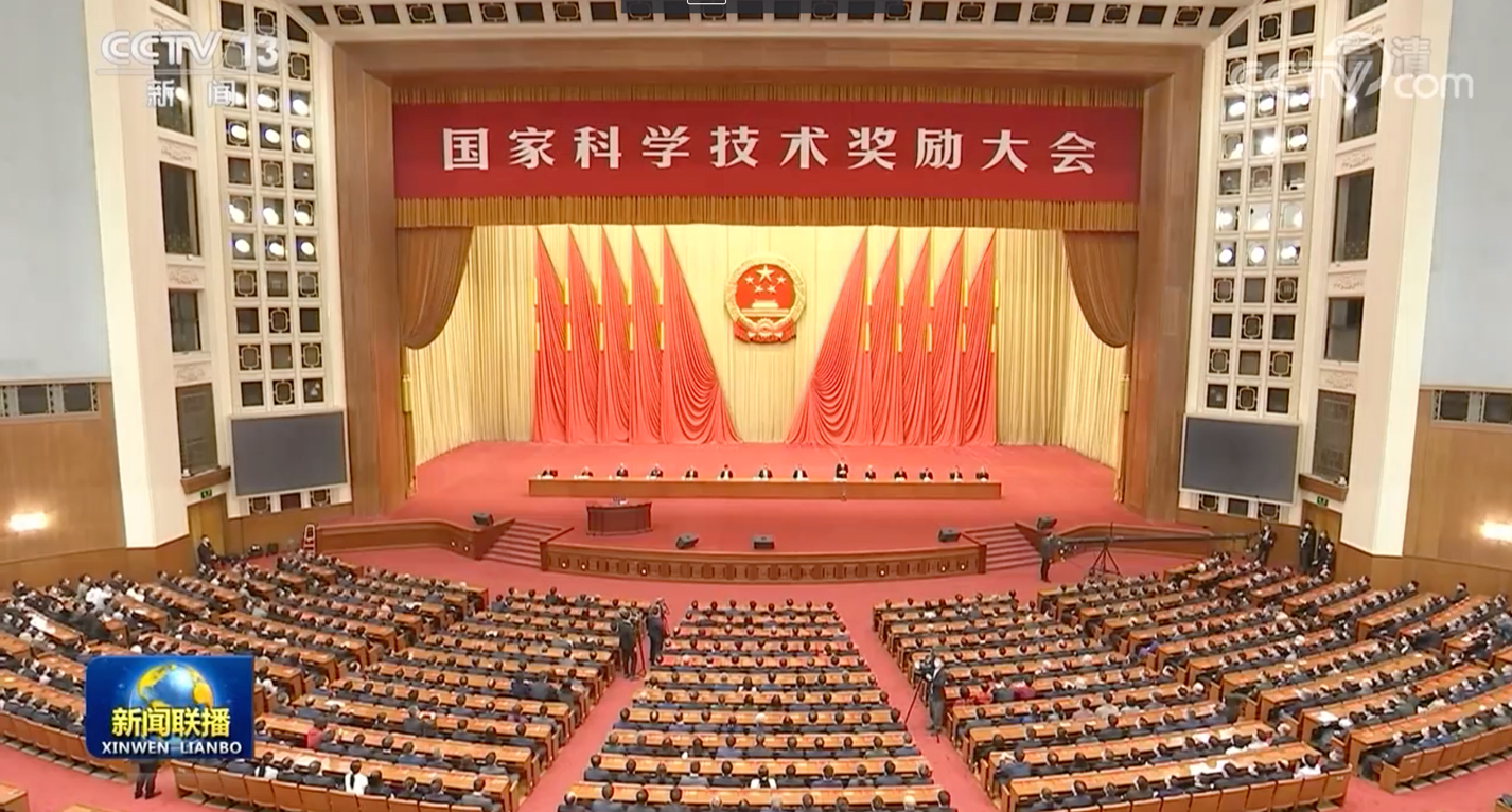
At the annual ceremony of the National Science and Technology Award held in Beijing on November 3, the Aerospace Information Research Institute (AIR) under the Chinese Academy of Sciences (CAS) won four prizes for the 2020 National Science and Technology Award.
04 Nov 2021


