Aerospace Information Research Institute (AIR), Chinese Academy of Sciences, houses the China Remote Sensing Satellite Ground Station (RSGS). The stable operation of the RSGS have greatly improved China’s sustained ability to obtain, process, and distribute spatial data. RSGS was established and put into operation in 1986. As one of the world’s busiest ground stations, RSGS has received more than 40 satellites data, processed and archived million scenes of satellite imagery. With five ground stations located in Miyun, Kashi, Sanya, Kunming and North Pole (Kiruna, Sweden), the visible range of RSGS covers the entire Chinese territory and 70% of the land area of Asia. Global satellite remote sensing data can be accessed efficiently.
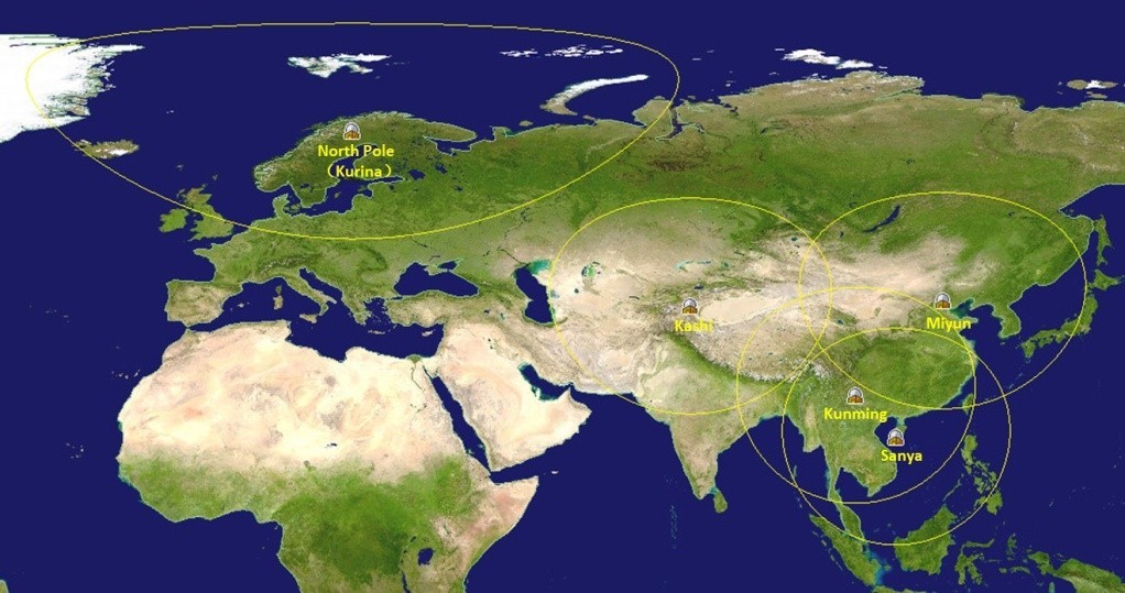
Fig.1 Reception mask of Miyun, Kashi, Sanya, Kunming and North Polar ground stations of RSGS
RSGS began to receive and process satellite data from LANDSAT-5. Beginning from 1999, China develops quite a few remote sensing satellites. RSGS has been responsible for receiving data from most China’s earth observation satellites such as CBERS-01, CBERS-02, CBERS-02B, CBERS-04, HJ-1A, HJ-1B, HJ-1C, ZY-02C, ZY3, ZY3-02, SJ-9A, SJ-9B, GF-1, GF-1B/1C/1D, GF-2, GF-3, GF-4, GF-5, GF-6 and CSES.
RSGS facilities include data receiving system, data recording system, data transmission system, data processing system and data service system. The data transmission system consists of five high-speed data transmission links between the Miyun, Kashi, Sanya, Kunming, North Pole receiving stations and the Beijing Headquarter. Transmission speeds are up to 10Gb/S ,622Mb/s,455Mb/S. RSGS owns several sets of satellite data processing systems with data products being consistent with international standards of quality and specifications.
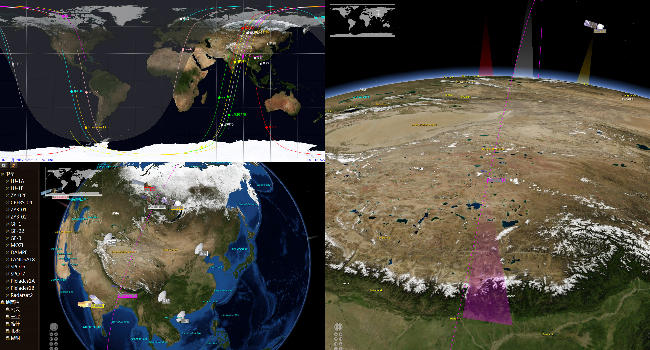
Fig.2 Part of the Satellites Received by RSGS
RSGS develops a Virtual Ground Station (VGS) system for users, especially for the neighbouring countries. The VGS is able to provide users with near real-time, full resolution quicklook images of remote sensing satellite data received by RSGS. The VGS is a software system built on RSGS. Its function is to send the satellite image data to users in near real time after basic imaging processing. The VGS system adopts a data push mode, and the image data is pushed to the user within few minutes after ground station receiving the data. Hence from the user's point of view, it's like having a virtual ground receiving station that doesn't require hardware investment. The VGS can perform daily monitoring of the target area of interest, such as forest fire points, water area changes, oil pollution, regional pollution, and project progress.
Compared with the traditional data acquisition mode, the VGS can help users obtain remote sensing images more quickly and conveniently. In the traditional mode, the user cannot directly obtain remote sensing data from the ground receiving station, and the data receiving station does not directly release data to the user. The receiving station will send the received satellite data to the unit dedicated to satellite data processing. These units professionally process satellite data, generate different levels of data products and place the data on the publishing website. When the user needs the data, he query and download data from the publishing website. The entire data acquisition cycle is relatively long. The virtual ground station system is directly established on the real ground station system, which makes full use of the functions of the ground station operation system to achieve rapid data release. The virtual ground station can improve the speed of the entire data distribution.
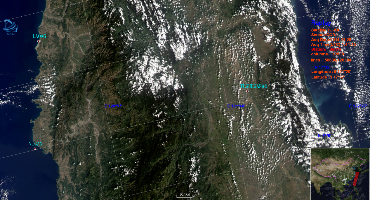
Fig.3 main interface of remote sensing satellite virtual ground station
In the event of major natural disasters such as forest fires and floods, the virtual ground station system can send disaster information to the user as fast as possible. It is helpful to save valuable emergency time for disaster relief.
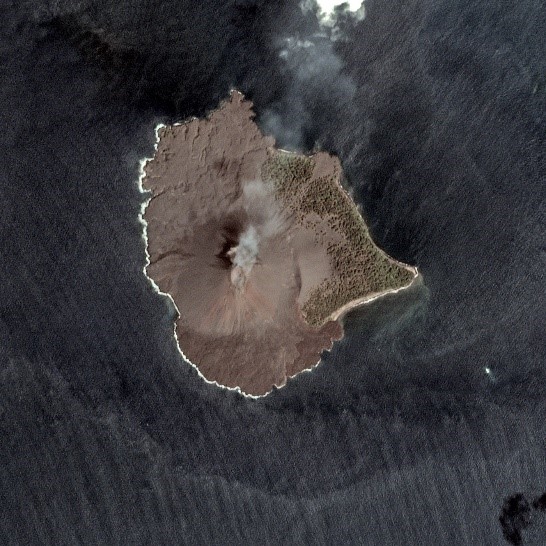
Fig4. VGS Remote sensing images of Indonesia before and after volcanic eruption
In normal time, the system can be used to monitor the changes of the interesting area. Virtual ground station system can be used in multiple fields such as land, ocean, environment, water conservancy, agriculture,etc.
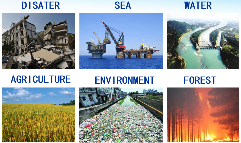
Fig5.VGS can be used in multiple fields
Some developing countries along one Belt and one Road do not have their own satellite ground station due to technical and financial reasons. The virtual ground station system utilizes the advantage of covering 70 percent of Asia, as well as advanced data transmission networks and big data real-time processing technology built by the Aerospace Information Research Institute. VGS System push satellite data to the developing countries in real time to help them to protect regional environment and develop science and technology. The VGS system has been deployed in Cambodia, Kazakhstan, Nepal, Mongolia, and several other countries.
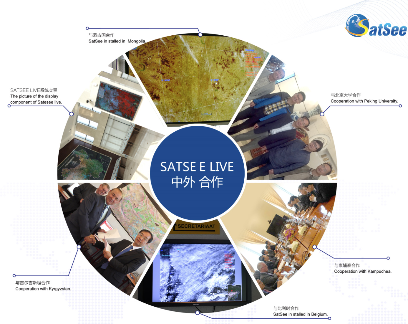
Fig. 6 Cooperation of virtual ground station system with many Chinese and foreign institutions
The VGS system is also an important platform to show how the remote sensing satellite works. It can increase public awareness of space remote sensing technology and encourage students to love Earth observation science.
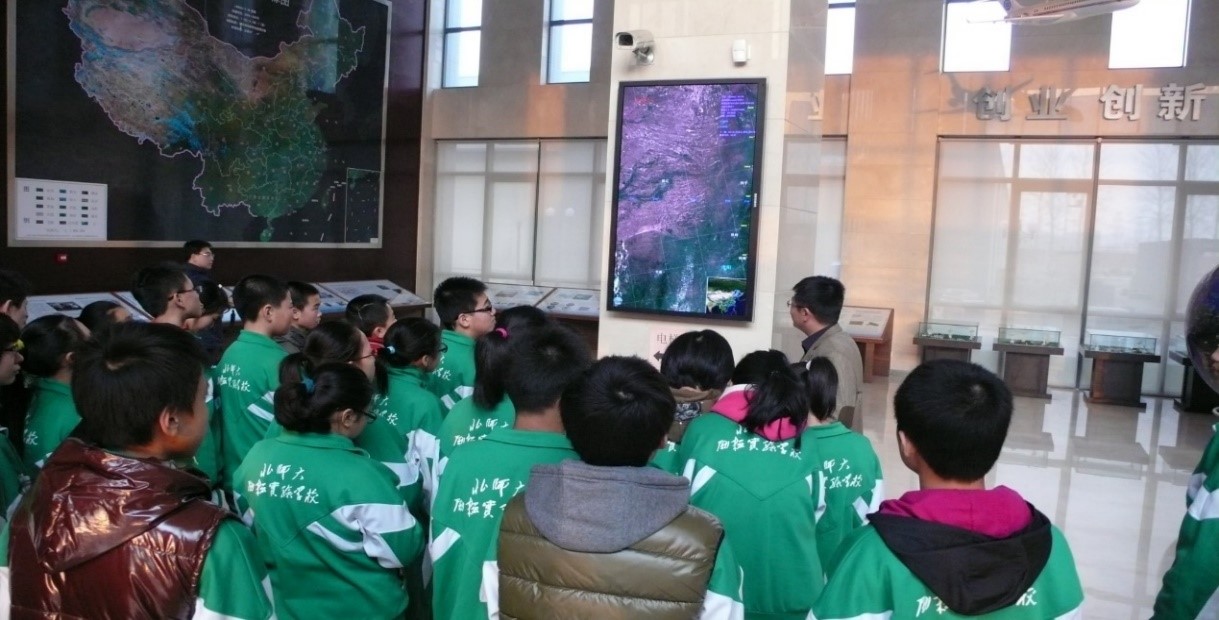
Fig. 7 VGS as remote sensing science teaching
Data Services