Joint Experiments Conducted to Facilitate Black Soil Protection
Large comprehensive experiments that integrate satellite, airplane, and ground-based observations were conducted at the Sanjiang Plain in northeast China from May to October to boost the black soil protection and use, according to the Aerospace Information Research Institute (AIR), Chinese Academy of Sciences (CAS).
Northeast China, one of the world's three major black soil regions, is regarded as a major granary for the country. However, the black soil resources face depletion due to years of overexploitation and overuse of fertilizer. Thus, its conservation is significant for China's grain security as well as sustainable ecosystem.
The experiments chose the Youyi County in Heilongjiang Province as the core observation area, and the staple crops (corn, soybean and rice) to conduct satellite-ground synchronous observation. The experiment covers the whole growth stage of crops in the black soil of Northeast China.
The project team has completed six multi-temporal ground survey experiments, collecting more than 1,200 quadrats and more than 20,000 data items, acquiring 16 kinds of common product inspection datasets. Various types of multi-temporal measurement data included surface reflectivity, water reflectivity, geometric positioning control points, water quality parameters, soil water content, vegetation water content, vegetation coverage, leaf area index, aerosol optical thickness, atmospheric water content, surface coverage, and surface roughness.
Satellite-based synchronous observations were conducted when the ground observation underway. The satellites, including optical satellites, resource satellites, hyperspectral satellites, environmental satellites, and GF satellite series, accumulated more than 100 scenes of satellite observation data.
On October 29, a remote sensing airplane joined the experiment, acquiring over 700GB sub-meter lidar and multi-spectral aerial data over the black soil survey area, and collected the soil parameter data of more than 100 quadrats.
The integrated observation data from the satellites, airplanes, and ground surveys provided a solid data support for the multi-parameter remote sensing monitoring of the black soil region, contributing to black soil management,use, and ecosystem protection.

Ground surveys.
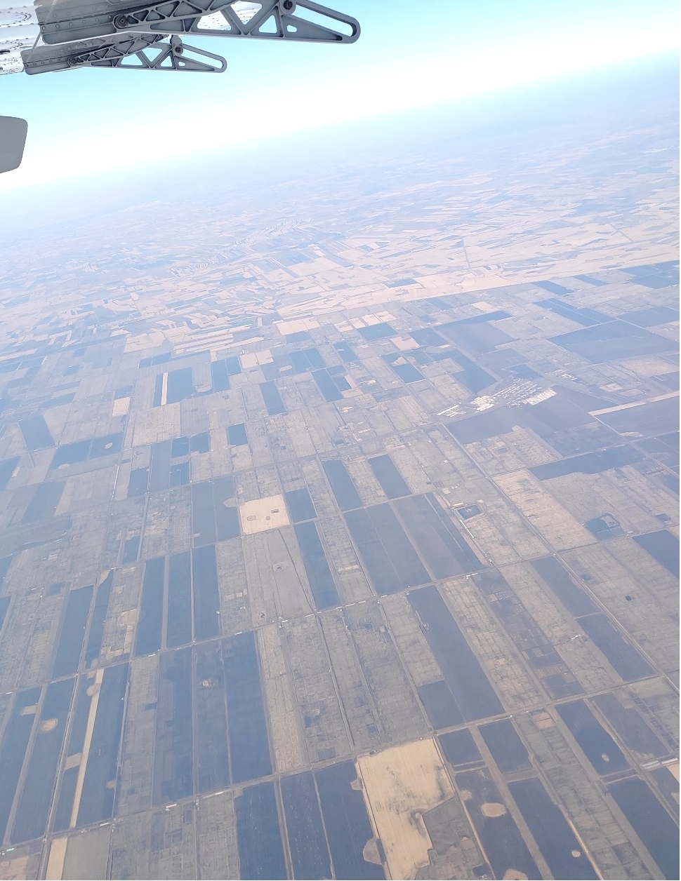
Airplane-based observation.
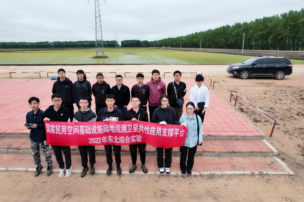
Group photo.
News & Events