Ground Survey Datasets Released to Validate Satellite-based Remote Sensing Data
Recently, the Aerospace Information Research Institute (AIR) with the Chinese Academy of Sciences (CAS) has released the second batch of ground survey datasets through its Common Application support Platform for Land Observation Satellite (CAPLOS), which can be downloaded for free by the users who registered on the website: http://caplos.aircas.ac.cn
Based on the datasets released earlier, which consist of typical datasets such as soil moisture, surface reflectance, leaf area index, water remote sensing reflectance, and aerosol optical thickness, the platform added three types of ground survey data such as apparent radiance, suspended matter concentration, and land cover types.
Since its launch this September, the platform has been updated in terms of data sharing service, quality inspection and assurance for data products, and is expected to fully exert its potential for delicacy application of space-based remote sensing data products.
The CAPLOS was launched in September by the National Engineering Research Center for Remote Sensing Satellite Application, marking that China has built a large validation and calibration station network for the common technology applications of remote sensing satellite data products.
The platform consists of 48 stations networking for validation of optical/microwave satellite products and six comprehensive experimental sites, capable of high-precision data processing and common technology services for more than 24 satellite data products, which can be applied in multiple fields such as ecosystem, agriculture, natural resources, and disaster prevention and reduction.
The platform will also continue to update and expand typical shared datasets for ground datasets to provide more one-stop service functions for users.
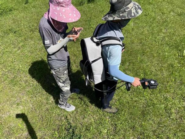
Apparent radiance survey.
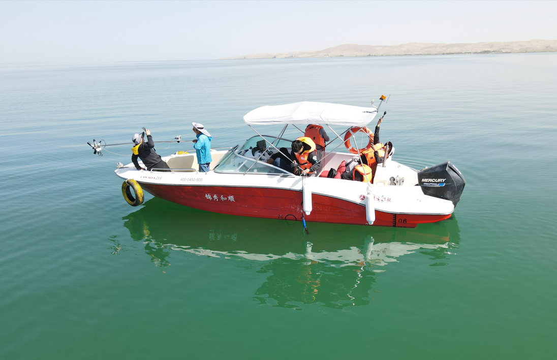
Suspended particle concentration survey.
News & Events