AIR Conducts 2022 Flight Experiment for Public Welfare
In a small county-level city called Genhe in the far northeast of Inner Mongolia, August saw frequently MA 60 remote sensing aircraft setting off and landing. The aircraft is part of Chinese Aeronautic Remote Sensing System (CARSS), a large research infrastructure housed by the Aerospace Information Research Institute (AIR), Chinese Academy of Sciences (CAS).
This flight experiment is for public welfare, belonged to a wider comprehensive scientific experiment that involves spaceborne, airborne, and ground observation,focusing on forest and grassland remote sensing application.
During this experiment, the MA 60 remote sensing airplane was equipped with five types of instruments including high-resolution polarimetric synthetic aperture radar interferometry, multi-band fully polarized synthetic aperture radar, high-resolution linear aerial digital camera, 3D laser radar and airborne optical full-spectrum remote sensing integrated system, capable of simultaneously obtaining multi-modal hyperspectral, high spatial and temporal resolution data
By the end of August, 15 flights of 62 hours had been completed, and the original data volume reached 45 TB. The obtained data will support forest and grassland environmental research such as fine classification, grassland desertification, crop growth analysis, forest stock volume estimation and pest monitoring. In addition, the data can also be used in the research and application of multi-modal information fusion and high-precision extraction of typical surface elements.
The flights gave full play to the advantages of the Chinese Aeronautic Remote Sensing System which features multi-modal collaborative observation and acquired data will be shared with the society, providing high-value data for the development of remote sensing load sensor research, remote sensing data processing and application technology in China.
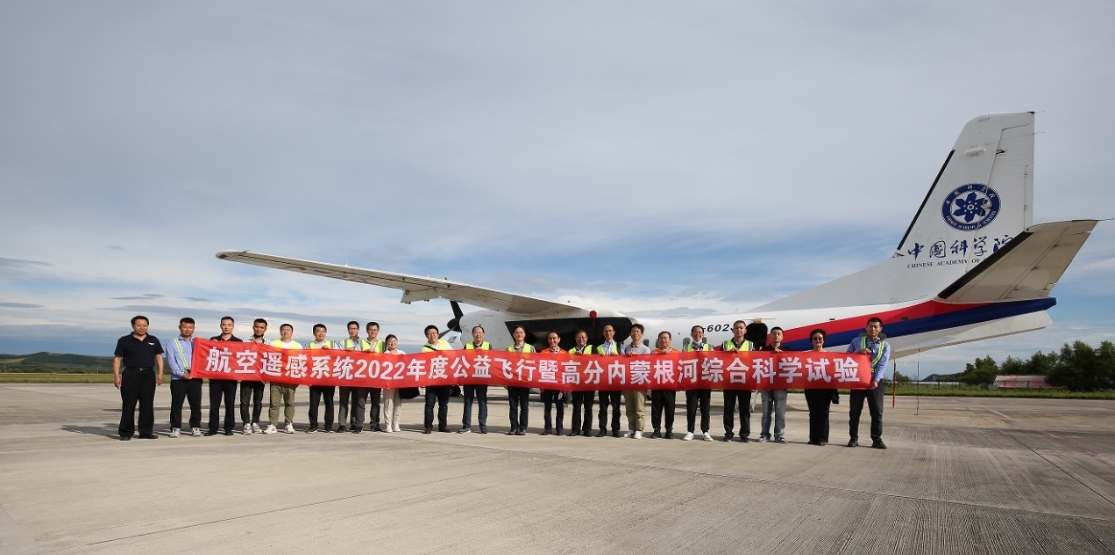
A flight is prepared.
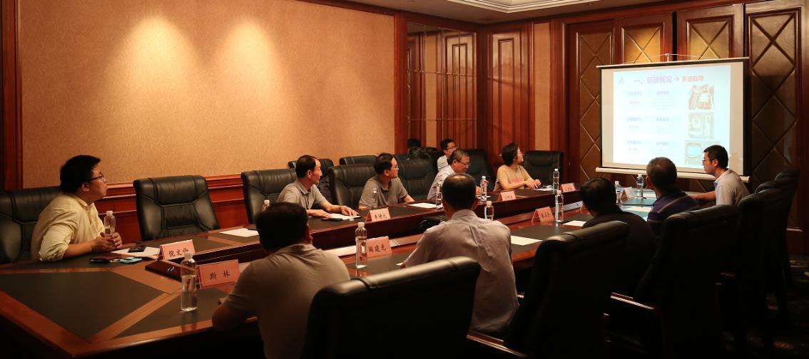
Technical discussion.
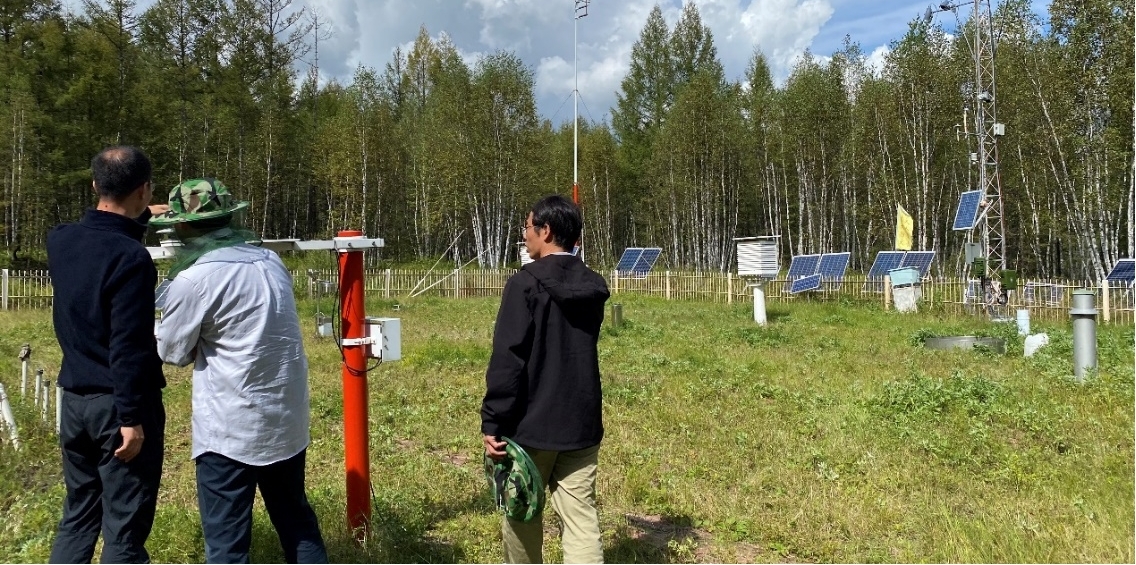
A field survey.
News & Events