Low-Light Remote Sensing On-Orbit Calibration Experiment Conducted on Qinghai-Tibet Plateau
A low-light remote sensing on-orbit calibration experiment, organized by a research team from the Key Laboratory of Quantitative Remote Sensing Information Technology under the Aerospace Information Research Institute (AIR) , was conducted on the Qinghai-Tibet Plateau from September 14 to 28, 2021.
The team, led by Prof. QIU Shi, included assistant researcher ZHANG Yu, intern researchers ZHANG Xi and CUI Haodong, and a postgraduate student DENG Jianqiong.
The experiment aimed at quantitative analysis the Visible Infrared Imaging Radiometer Suite (VIIRS) Day/Night Band (DNB) night-time data.
A ground-based low-light radiation system was installed in advance on the Qinghai-Tibet Plateau region, which was chosen as experimental site to avoid any artificial light sources contaminating the radiation system. The region features clear atmospheric conditions most of the year, as well as large, flat, uniform landcover with an average elevation of 3700 meters with little human activities in most part of the region.
This experiment successfully obtained 12 satellite images. Preliminary analysis shows that the experiments can provide effective calibration ideas for low-light remote sensing on-orbit calibration.
Land surface background radiance measurement.

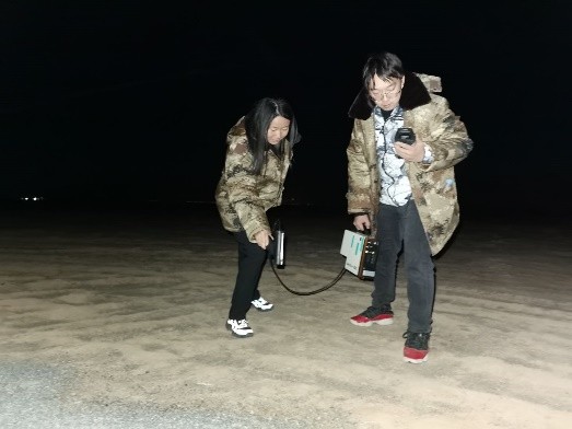
Engineers preparing for an experiment.
News & Events