AIR Organizes Joint experiment to Validate Satellite Data Application for Agriculture and Desert Ecology
From July 23 to August 4, the Aerospace Information Research Institute (AIR) under the Chinese Academy of Sciences (CAS) led a joint experiment in northwest of China to valid the domestic satellite data, specifically its application in the field of agriculture and desert ecology.
The experiment was conducted at the sites of Shihezi and Karamay under the Comprehensive Experimental Field (CEF). Consisting of six experimental sites across the country, CEF belongs to the Land Observation Satellite Calibration Supporting Platform, a part of national space infrastructure.
The Field can provide comprehensive validation for domestic satellite data, with a g goal to provide standardized satellite product and to improve the data quality.
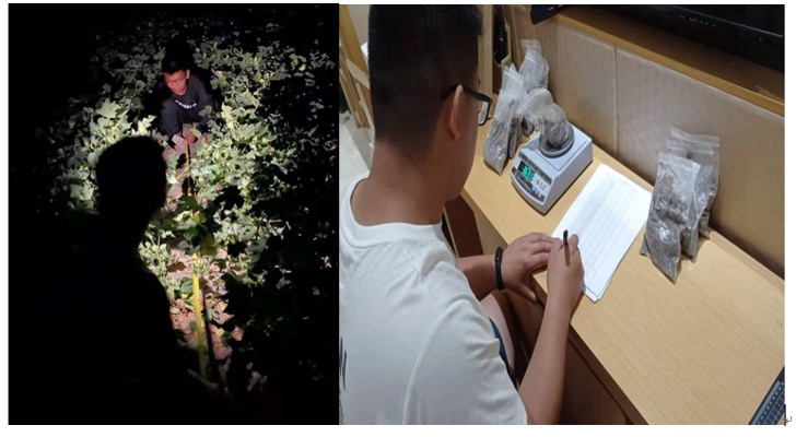
Huge amount of ground data was collected in two weeks, including multi-temporal surface reflectance, geometric positioning control points, soil water content, vegetation water content, vegetation coverage, leaf area index, aerosol optical thickness, atmospheric water content, surface coverage, ground roughness at the core experimental areas of Shihezi and Karamay.
Synchronous observation was conducted for multiple domestic satellites including NCSI series (B/C/D satellites, resource series satellites) and Gaofen satellites (1/2/3/6).
The experiment has resulted in multiple types of surface observation datasets, which can be applied for agricultural monitoring, ecological environment monitoring, land and resources surveys.
This joint experiment is organized by the National Engineering Laboratory for Satellite Remote Sensing Applications with AIR, in partnership with the Shihezi University, the Research Institute of Petroleum Exploration and Development, the Northeast Institute of Geography and Agroecology, Ningxia University, and the South China Agricultural University.

Cotton spectrum and leaf area index measurement.
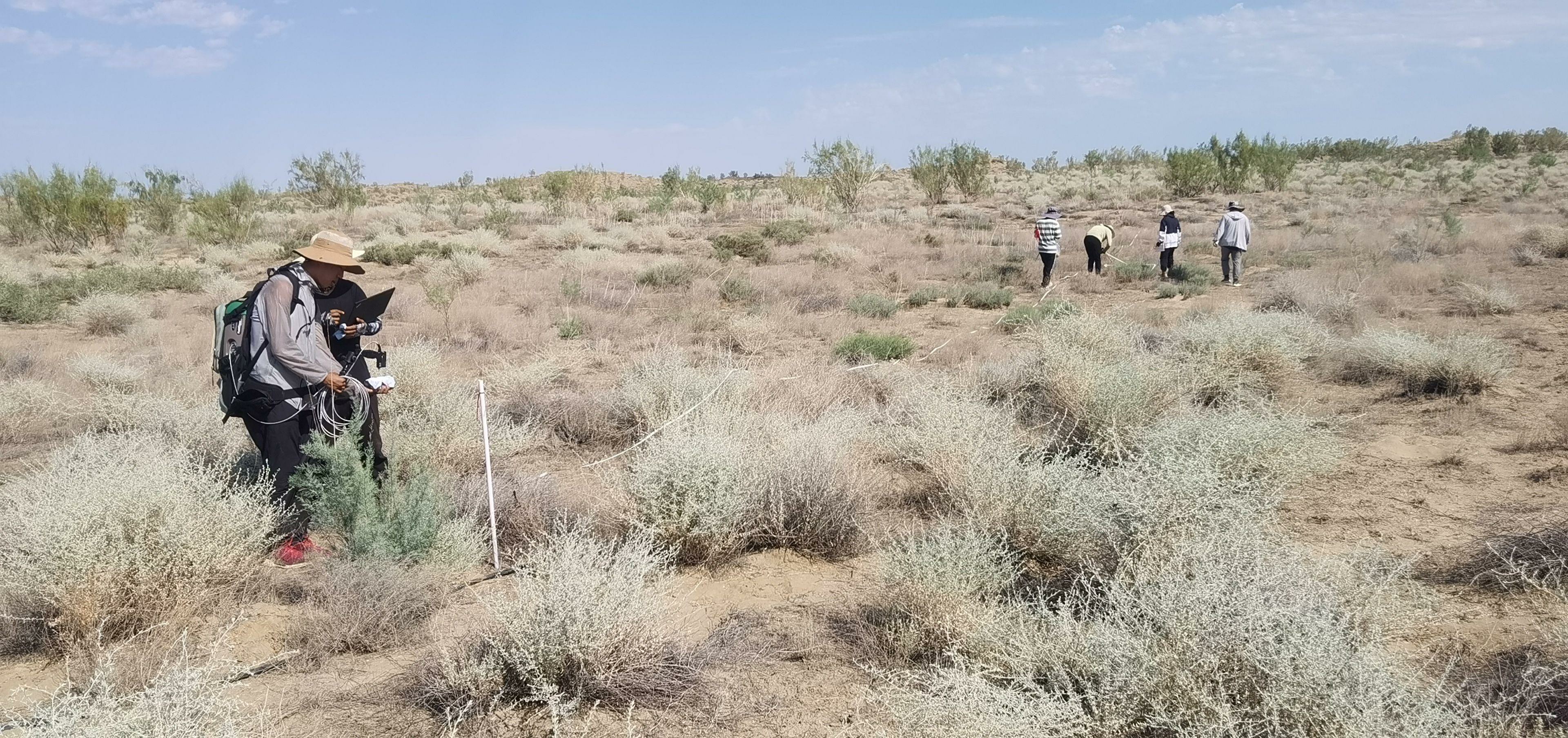
Desert vegetation survey.
Soil moisture measurement.

Land cover measurement.
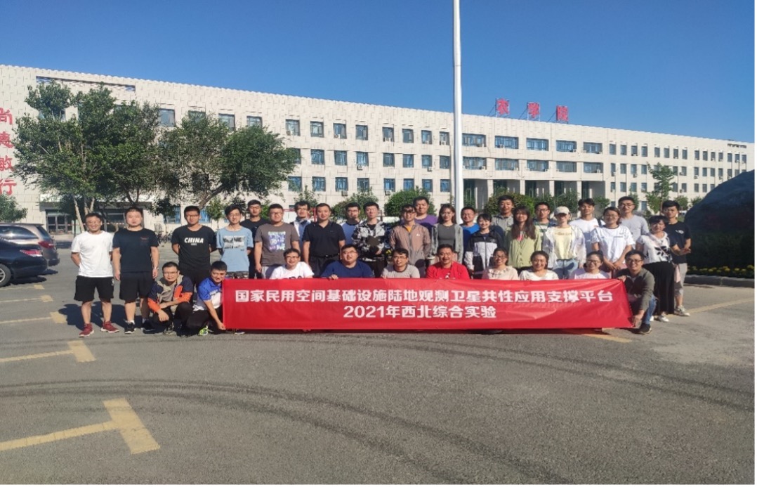
Group photo of scientists in the experiment.
News & Events