AIR Holds Seminars Showcasing Advances in Remote Sensing for Climate and Health
The Aerospace Information Research Institute (AIR) of the Chinese Academy of Sciences (CAS) hosted two seminars on June 12, 2025, highlighting applications of remote sensing and artificial intelligence to address critical challenges in urban climate resilience and environmental health. Two experts from France presented research to the scientists and students at the National Engineering Research Center for Geomatics.
Dr. Thomas Corpetti, a PIFI scholar of AIR, also Director of Research at the Observatory for Universe Sciences of Rennes (OSUR), part of the French National Center for Scientific Research (CNRS), unveiled NUWG-City—an innovative AI model merging physical simulations with neural networks to map neighborhood-scale urban air temperatures. His team demonstrated how limited meteorological data, combined with simulations from the Urban Weather Generator (UWG), can train adaptable models for city-specific climate strategies. Dr. Corpetti further revealed ongoing work integrating Sentinel satellite imagery, enhanced through flow-matching super-resolution techniques, to overcome 10m resolution limits and generate precise urban heat maps.
Dr. Candide Lissak, a geographer specializing in environmental risk, presented a decade of research leveraging 2D/3D remote sensing to track hazards like landslides and pollution transfers. She introduced a lightweight AI model distilled from YOLO architecture, designed to rapidly detect agricultural structures (livestock farms, manure storage) as key ammonia emission sources. This tool, pivotal for epidemiological studies, bridges geography and public health by identifying pollution hotspots via satellite.
The seminars yielded significant technical insights: NUWG-City offers a scalable framework for urban climate adaptation, while the agricultural emissions AI enables real-time pollution source tracking. The integration of super-resolution techniques with Sentinel data marks a leap forward in urban microclimate monitoring. Both presentations underscored the growing synergy between physical modeling, satellite technology, and machine learning.
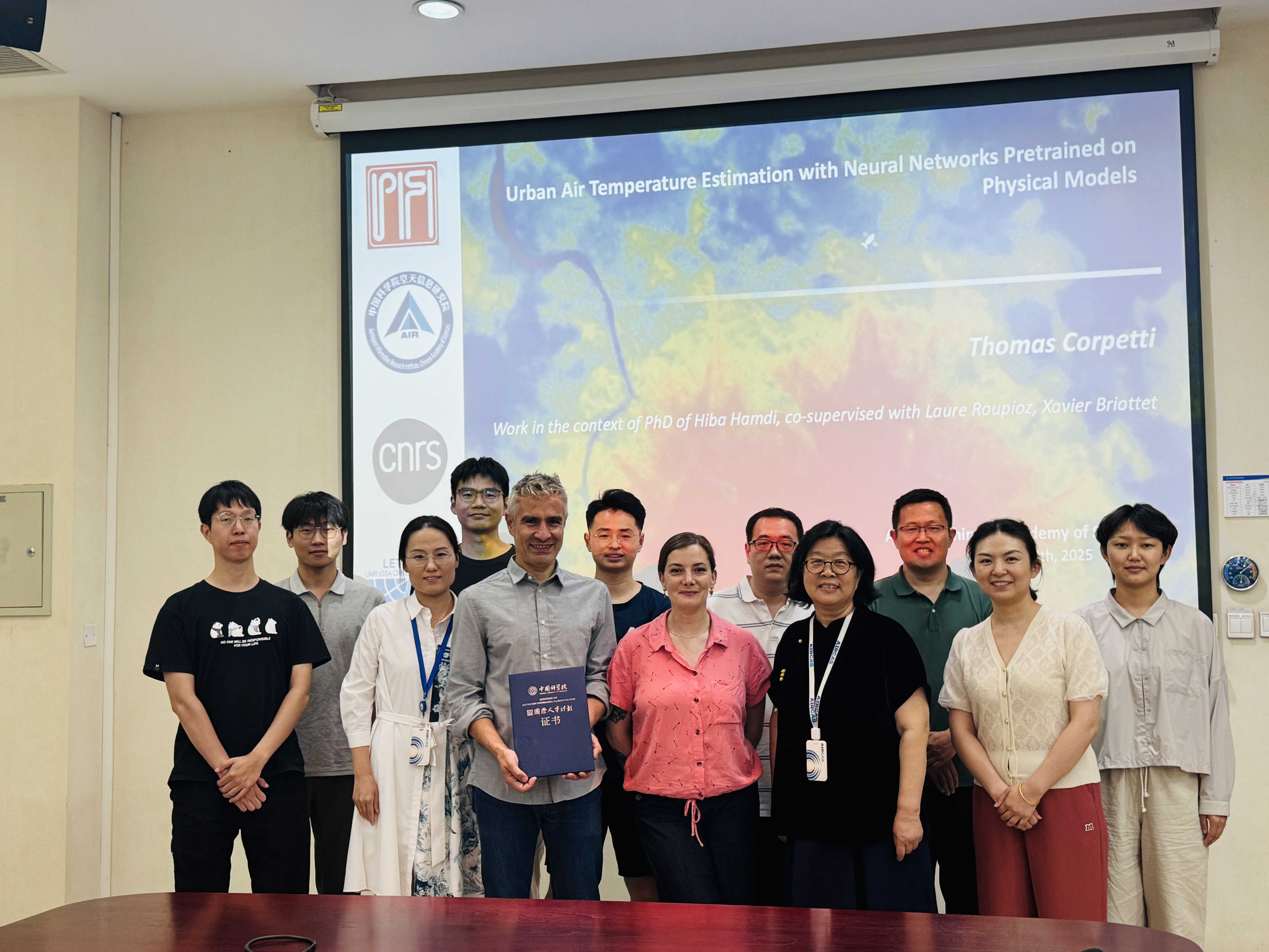
Group photo. (Image by AIR)
News & Events