Czech GIS Expert Shares Insights on Digital Earth During Visit to AIR
On May 30, Professor Milan Konečný, a leading authority in geographic information science from Masaryk University, Czech Republic, and Vice-President of the International Eurasian Academy of Sciences, visited the Aerospace Information Research Institute (AIR), Chinese Academy of Sciences, where he delivered an academic lecture at the State Key Laboratory of Remote Sensing and Digital Earth.
Titled "Spatio-Temporal Aspects of Urbanization Processes," Professor Konečný's presentation focused on the evolving concept of Digital Earth. He introduced its origins and core technologies—such as remote sensing, GIS, and big data—and highlighted its critical applications in urban development, disaster response, and environmental monitoring. Drawing on rich case studies, he also addressed key challenges including multi-source data fusion, real-time analytics, privacy protection, and the need for unified technical standards.
His lecture sparked enthusiastic discussion among participants, deepening their understanding of Digital Earth's potential and complexity.
A renowned scholar in GIS, disaster management, and global environmental assessment, Professor Konečný has held several leadership roles, including President of the International Cartographic Association and Vice-President of the International Society for Digital Earth. He has led numerous international projects, authored over 120 academic papers and seven monographs, and was honored with the "Yellow River Friendship Award" by Henan Province in 2014.
His visit marks a valuable opportunity for academic exchange and interdisciplinary collaboration, strengthening ties between Chinese and international research communities in Earth observation and digital geoscience.
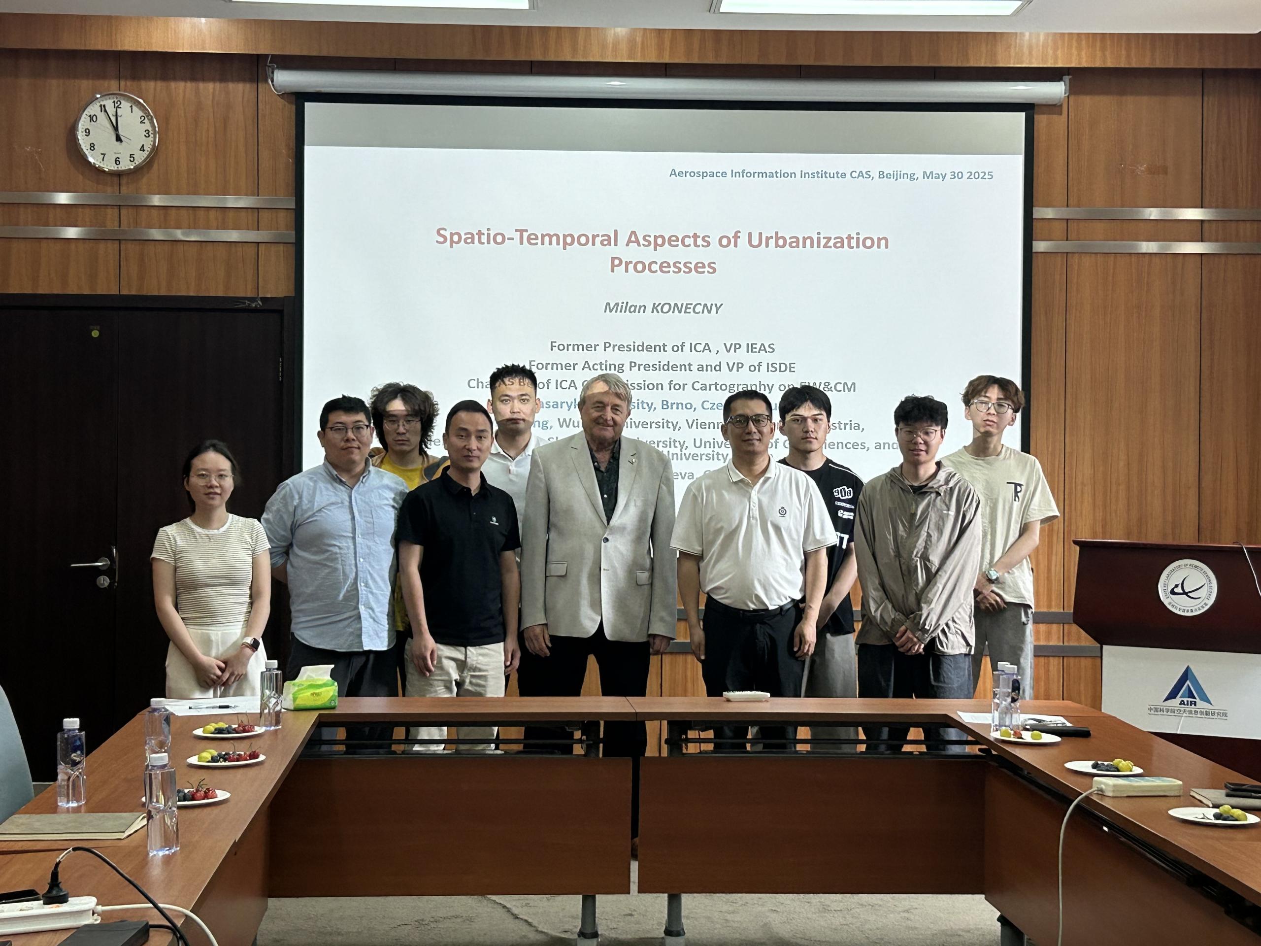
Group photo. (Image by AIR)
News & Events