APSCO Training Course Empowers Members to Address Urban Environmental Challenges Through Remote Sensing Technology
Jun 14, 2024
From May 27-31, 2024, a specialized training course on "Remote Sensing Information Processing and Urban Applications" took place in Wenchang, Hainan. Organized by the Asia-Pacific Space Cooperation Organization (APSCO) and co-organized by the Aerospace Information Research Institute (AIR) with the Chinese Academy of Sciences (CAS) together with several other institutions, the event aimed to address the global deterioration of urban environments and enhance the capabilities of APSCO Member States in utilizing space technology to tackle these issues.
The event drew participation from experts and attendees from APSCO member states including Bangladesh, China, Iran, Mongolia, Pakistan, Peru, Thailand, and Turkey. The sessions were also broadcast live worldwide, attracting around 146,000 online participants.
The five-day course featured 19 sessions that focused on urban remote sensing information processing and land subsidence monitoring. Participants were introduced to advanced methodologies for managing urban environmental challenges through remote sensing technology.
The expert lecturers provided valuable knowledge and practical experience, each from their specialized research areas, covering the latest techniques and applications in urban remote sensing information processing and land subsidence monitoring.
Leading the team of instructors was MENG Qingyan, a researcher from AIR. Meng shared the latest research findings and cutting-edge technologies in spatial fields such as urban greenness, heat, and greyness.
Professor SUN Gongling from Beihang University discussed the components, current developments, and operational procedures of spaceport launch missions. Associate Professor TIAN Jia from Beihang University shared methods for identifying urban ecological environment components based on spectral feature analysis. Professor XU Wenbin from Central South University explained the theory of InSAR technology and its applications in ground deformation monitoring.
YANG Na, a senior engineer from PIESAT Information Technology Co. Ltd, introduced the knowledge system of SAR satellites and methods for processing and applying SAR data. Professor DU Shihong from Peking University presented on spatiotemporal big data monitoring and the evaluation of human habitats. Assistant Professor GAO Liang from the University of Macau detailed the processing workflow of remote sensing information and its application in hydrological models.
Associate Researcher ZHANG Xiuyuan from Peking University gave a special report on GIS modeling of urban functional zones, while Assistant Researcher CHEN Mengye from the University of Oklahoma explained the principles and methods of the CREST hydrological model.
This training course served a platform for knowledge exchange and capacity building, strengthening the collaborative efforts of APSCO member states in addressing urban environmental challenges through space technology. Over the next six years, APSCO and AIR's urban environmental remote sensing team will continue organizing this series of training courses, creating more opportunities for learning and collaboration among researchers and professionals in the Asia-Pacific region.
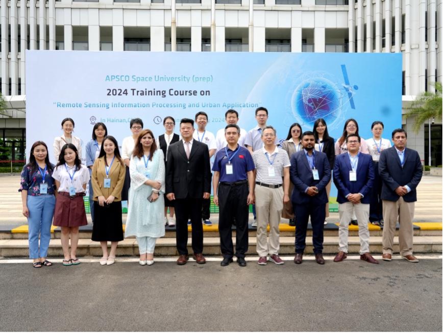
The opening ceremony.
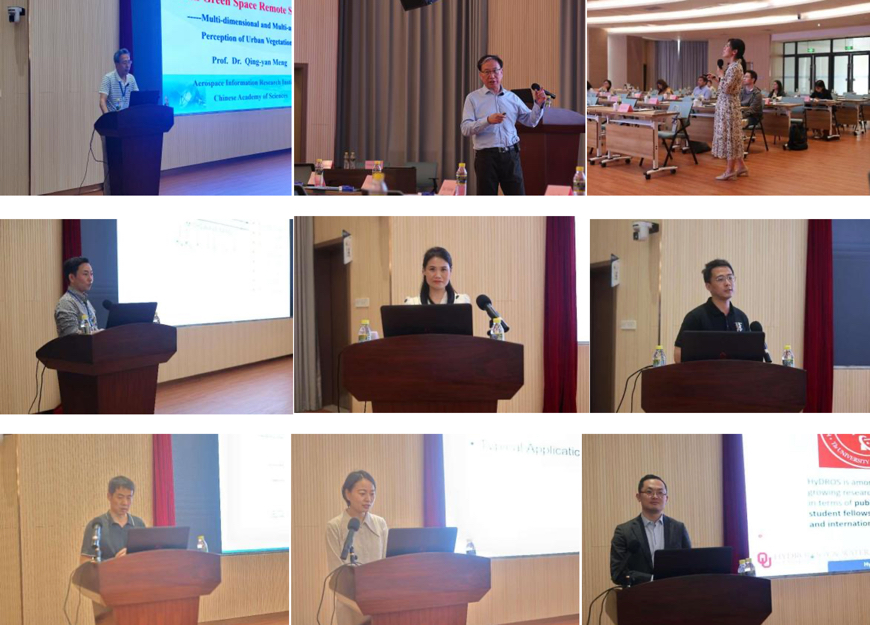
The teaching team.
News & Events