International Training Course on Remote Sensing Satellite Data Reception, Sharing and Applications Held in Beijing
A training course on Satellite Receiving Station and Remote Sensing Application was open both online and offline on October 19, 2021. The event was organized by China-Pakistan Joint Research Centre on Earth Sciences (CPJRC) in partnership with two CAS institutes, the Institute of Mountain Hazards and Environment (IMDE), and the Aerospace Information Research Institute (AIR), as well as the International Centre on Space Technologies for Natural and Cultural Heritage (HIST) under the auspices of UNESCO.
The three-day training course consisted of lectures delivered by China's top scholars in this field, with a purpose to strengthen data sharing capability of China-Pakistan Economic Corridor, enhance Pakistan's scientific data service capability, maximize the value of data sharing, and promote in-depth cooperation and exchanges between the two sides in the field of satellite remote sensing.
The training course targeted international students and young professionals. Among them, over 60 online participants accessed the course via video conference or webcast, and 37 from Pakistan, Egypt, Cameroon, Ethiopia, Myanmar, Rwanda, Nigeria, Morocco and India attended the on-site course in Beijing.
As one of CAS institutes contributing to the building of CPJRC, AIR has a lot of experiences in organizing international training on remote sensing applications. Over 10 researchers from AIR gave lectures on such topics as how satellite receiving stations develop in China, how to share the data and relevant services, how to apply remote sensing technologies in water resources, locust prevention, natural hazards mitigation and reduction, cultural and natural heritage conservation, among others.
Through this course, AIR will deploy data sharing systems and virtual satellite ground stations to enhance Pakistani scientific data service capabilities, and to promote scientific and technological cooperation in the field of remote sensing technologies.
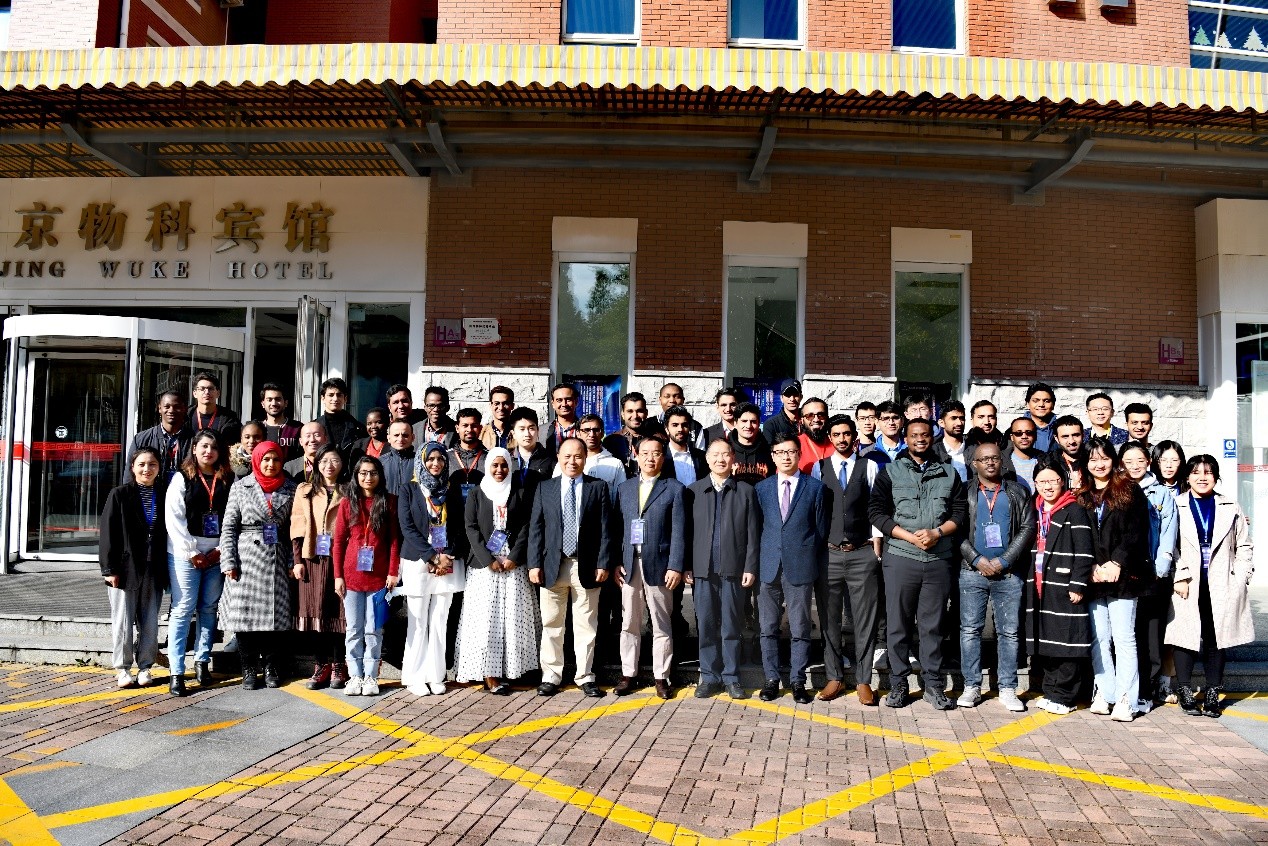
Group photo.
News & Events