AIR, FAO to Boost Cooperation in Agriculture and Food Security
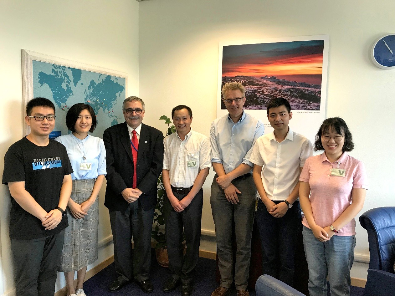
Prof. HUANG Wenjiang, head of the CAS Key Laboratory of Digital Earth under AIR visited the headquarters of the Food and Agriculture Organization of the United Nations (FAO) in Rome, Italy on September 20.
The two sides exchanged ideas on the issues such as global food and agricultural resource monitoring, major agricultural disaster monitoring, early warning, and emergency decision-making, and agreed to promote the use of spatial information for relevant Sustainable Development Goals (SDGs) by involving joint international projects, and boosting cooperation in terms of data sharing, personnel exchanges and information release.
René Castro-Salazar, assistant Director-General of FAO introduced FAO's work from the aspects of food security, land and water, climate and environment, agricultural cultural heritage, and its efforts in support of SDG indicators including Zero Hunger (SDG2) and Climate Action (SDG13).
Jippe Hoogeveen, senior director of the FAO’s land and water sector, presented the research of his department in global monitoring of land resources and drought based on remote sensing technology.
CHEN Zhongxin, project manager of its IT sector, emphasized the importance of information technology for agricultural sustainable development, and showed intention of deepen cooperation with AIR in agricultural information technology.
Prof. Huang introduced the history of AIR and its development in the field of aerospace information, in particular its capability of satellite-air-ground integrated remote sensing data acquiring and processing, spatial information science and quantitative remote sensing technology, its Digital Earth Science Platform for global environmental resources. He pointed that the resources are capableof providing powerful support for achieving SDGs.
Huang pointed that recent years China has funded a lot of large research projects in the field of Earth observation. Among them, the global resource and environment monitoring platform was built by AIR to provide spatial information in support of the SDGs, in particular SDG 2 and 13.
The both sides will team up to serve relevant SDGs by pooling advantages of FAO in the field of global food and agricultural resources analysis with the research advantages of AIR in satellite data reception, processing, and global environmental resource spatial information system based on its Digital Earth Science Platform.
News & Events