4th Digital Belt and Road Conference Held in Shenzhen
The 4th Digital Belt and Road Conference, hosted by the “Digital Belt and Road” (DBAR) Program, co-hosted by Big Earth Data Science Engineering Project (CASEarth) and organized by CAS Shenzhen Institutes of Advanced Technology, convened in Shenzhen on December 17, 2019. The conference, themed “Digital Belt and Road Facilitates Sustainable Development”, aimed to promote communication and cooperation between experts and scholars from all around the world on the issues related to selection and demonstration of Sustainable Development Goals (SDGs) most relevant to “Belt and Road” region , mechanisms to aggregate and share Big Earth Data within the “Belt and Road” countries, enhance the capability of scientific discovery and decision-making related to Big Earth Data, and promotion of the sustainable development process by using Big Earth Data.
GUO Huadong, CAS Academician and DBAR Chairman, chaired the conference, which attracted over 200 experts from 29 countries including Russia, Pakistan, the United States, Italy, Morocco, Zambia, Thailand and Finland and China.
Prof. Guo made the opening remarks and delivered a keynote speech titled “Big Earth Data to Support the Realization of the Sustainable Development Goal in the Belt and Road Region”. He introduced the challenges of data and evaluation methods for SDG, and discussed the potential benefits of the Technology Facilitation Mechanism approach of the United Nations for SDGs. He also shared the results of multiple research conducted on different SDGs by DBAR in the “Belt and Road” region in 2019 utilizing Big Earth Data, which emphasized the potential of such research and approaches to facilitate realization of SDGs. He stated that DBAR has put forward a scientific paradigm for research using Big Earth Data in “Belt and Road” and demonstrated the service capability of Big Earth Data by integrating “demonstration + sharing + online analysis”. He further stated that DBAR plans to strengthen and expand the network for international scientific & technological cooperation, enhance the Big Earth Data infrastructure, promote data sharing and mutual benefits, develop and promote Big Earth Data application services, guide Big Earth Data cooperation in the “Belt and Road” region, provide reliable data, new research theories and methods to facilitate data-driven policies towards realization of SDGs in the Belt and Road Region, playing a leading role in scientific and technological innovation.
Shukri Farah AHMED, from the Food and Agriculture Organization of the UN stressed in his remarks during the opening ceremony that the function and value of Big Earth Data and advocated “demand-driven” research. Sirirurg SONGSIVILAI, Secretary-General of National Research Council of Thailand (NRCT), expressed his support for the vision, mission and goal of DBAR. He noted that NRCT and DBAR had established a multi-tiered partnership in Southeast Asia, and the two sides strive to strengthen and expand the ongoing cooperation, and plan to make contributions to the interests of Southeast Asian countries by using Big Earth Data.
Pedro Daniel DZUCULA, Director-General of the Agriculture & Forestry Department of Mozambique’s Ministry of Agriculture and Food Security, thanked DBAR for its support and cooperation in activities related to sustainable development of agriculture in Mozambique, and stressed that digital technology is integral for future agricultural development and sharing these technologies and experiences is this field should be priorities in international cooperation.
Pan-Eurasian Experiment (PEEX) Program Secretary-general Hanna LAPPALAINEN believed that the sustainable development of the “Belt and Road” region needs inter-disciplinary and cross-system big data support, and DBAR can effectively solve the data problem in the complicated research environmental system.
At the opening ceremony, the Cadastre Committee of the Republic of Armenia and DBAR signed an official cooperation agreement to join the DBAR. Artak Piloyan, head of the nation's Geodesy and Cartography Department at Cadastre Committee, said that Armenia is looking forward to strengthening its applied researches in the field of Big Earth Data for “Belt and Road” through the cooperation under the DBAR. He said that the Armenian side is willing to share its local observation data and enhance the level of land management and environmental monitoring through data sharing. Meanwhile, CASEarth handed over a dataset of a high-resolution cropland map to the Ministry of Agriculture and Food Security of Mozambique. It could be used to assist Mozambique in strengthening its capabilities of coping with extreme climatic events including flood, drought, and crop diseases and pest, and facilitate reasonable utilization of water resources with information support, ensuring food security in the country.
On the sidelines of the conference, a DBAR work meeting was also organized to deliberate on improving research on the SDG system of indicators and their evaluation methods in the “Belt and Road” region. The meeting, attended by 80 experts from over 20 countries adopted, an evaluation plan for SDGs in “Belt and Road” region and decided to develop evaluation case studies that will be jointly released as the Report on Big Earth Data Supporting Belt and Road SDGs in 2020.
As annual conferences of DBAR, the Digital Belt and Road Conferences aim to set up an international academic exchange platform for scientists and decision-makers, promote research on and innovation in Big Earth Data technologies and application, and jointly build a “Digital Belt and Road”. Initiated by Chinese scientists in 2016, DBAR is a large-scale international research program involving 57 countries, international organizations and programs, aiming to provide scientific services of Big Earth Data for “Belt and Road” SDGs by sharing data, experience, technology and knowledge.
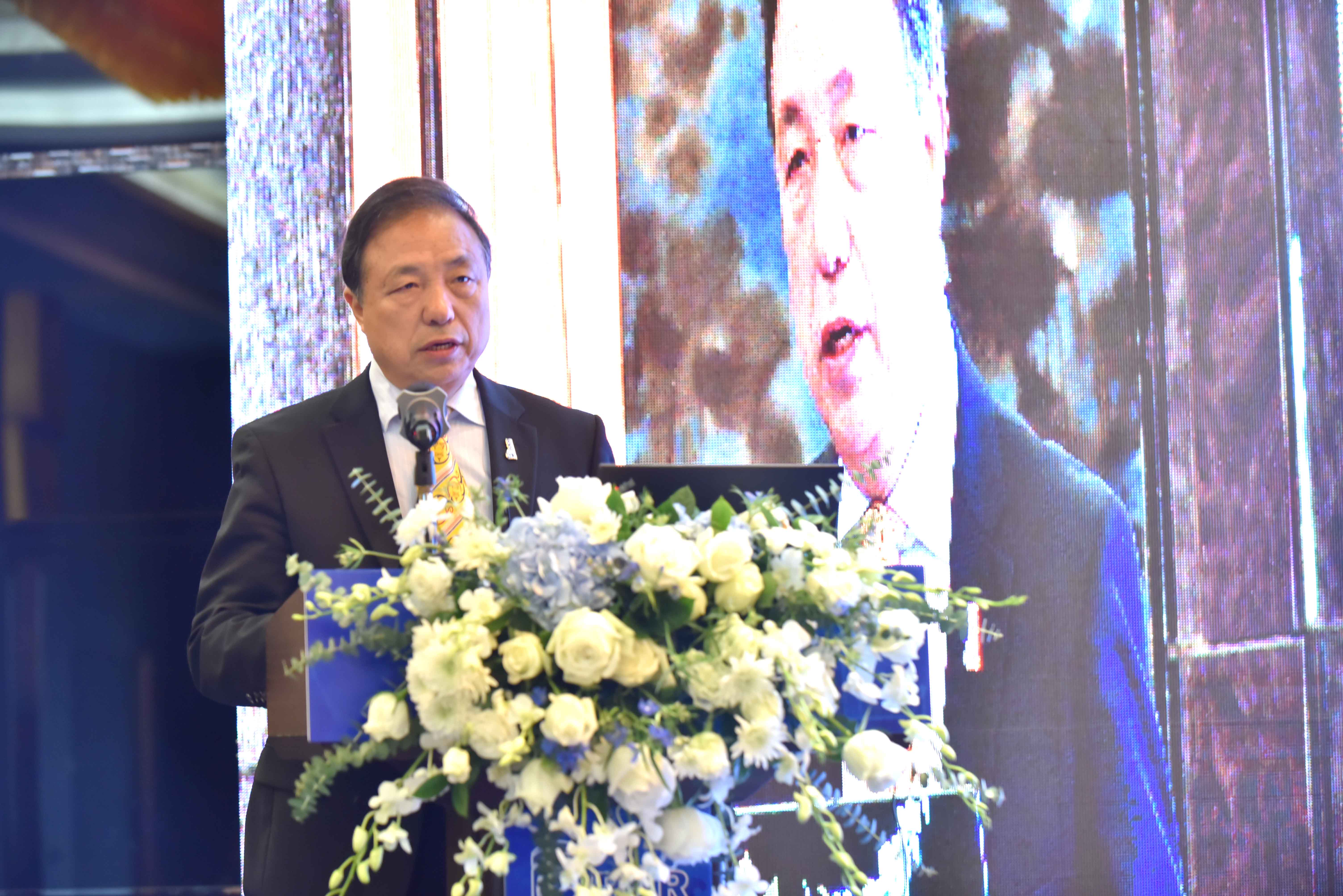
DBAR Chairman GUO Huadong delivers a speech.

The Cadastre Committee of the Republic of Armenia and DBAR sign an official cooperation agreement.


News & Events