


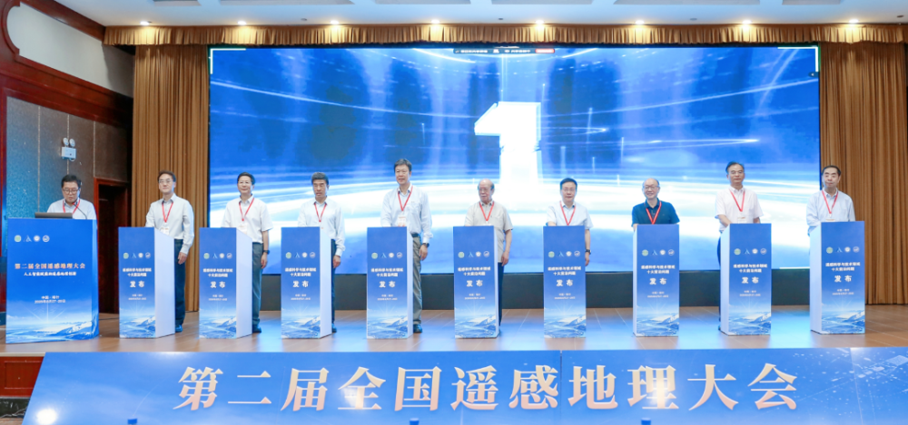
Ten frontier scientific challenges expected to shape future research and technological development in remote sensing were unveiled on Aug. 28 at the opening ceremony of the Second National Conference on Remote Sensing Geography in Kashgar, northwest China's Xinjiang Uygur Autonomous Region.
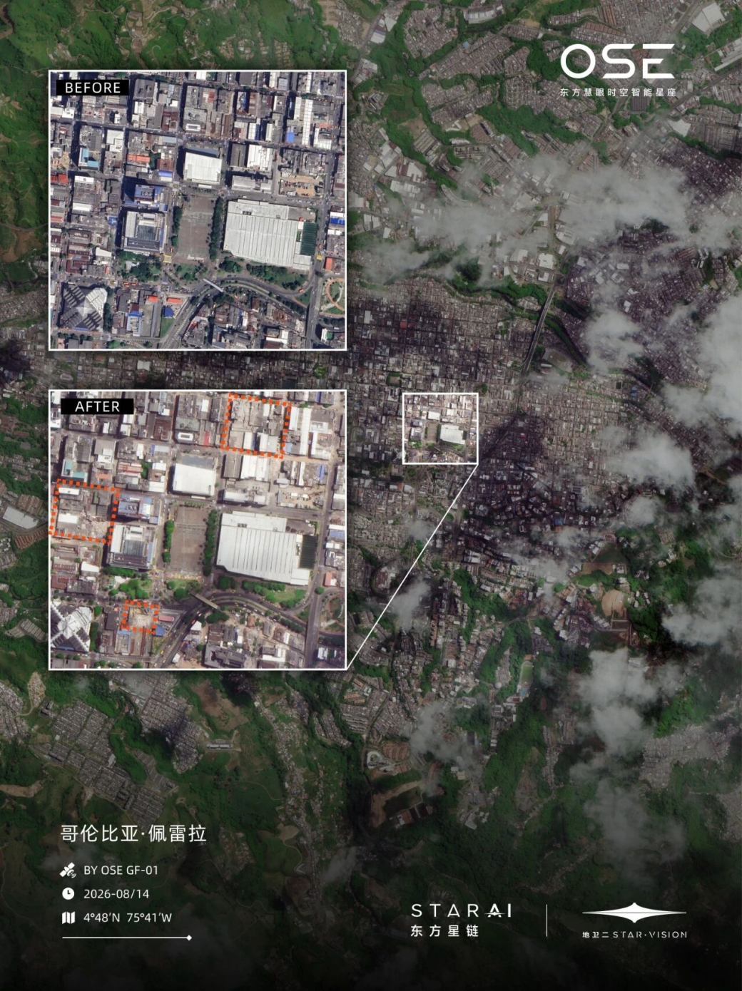
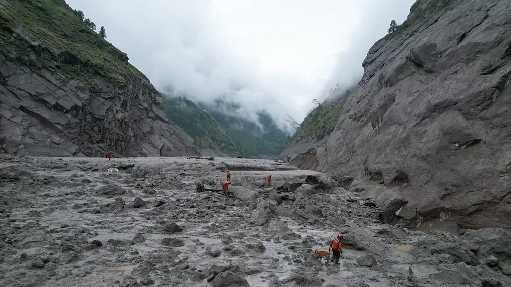
A magnitude-7.5 earthquake struck western Colombia on Aug. 10, 2026, causing widespread damage across 32 cities. According to figures released by local authorities on Aug. 15, the death toll had risen to 294, with 3,935 people injured.
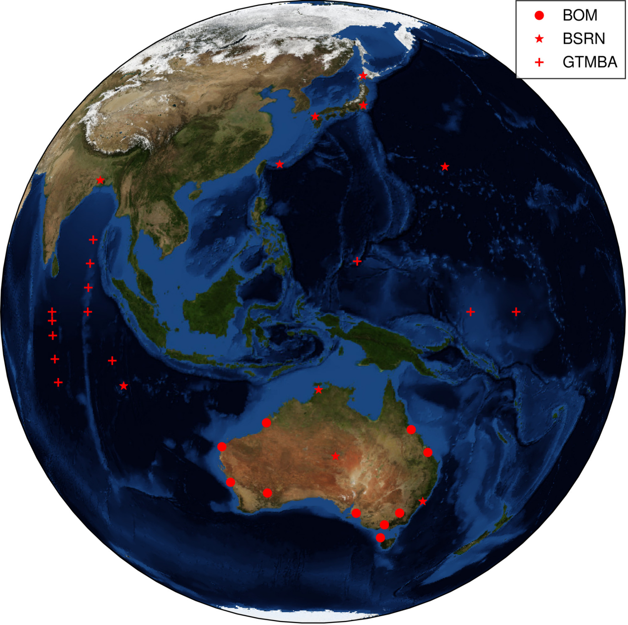
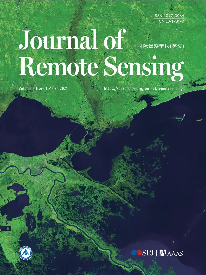
Researchers from the Aerospace Information Research Institute, Chinese Academy of Sciences; Sichuan University of Science and Engineering; and the Institute of Atmospheric Physics, Chinese Academy of Sciences, reported the study in the Journal of Remote Sensing on April 29, 2026. The article presents a new satellite-based method for retrieving global, direct, and diffuse solar radiation from FY-4A. The work targets a key operational problem: how to deliver accurate sunlight estimates at high spatiotemporal resolution without relying heavily on dense ground observations or auxiliary atmospheric datasets.
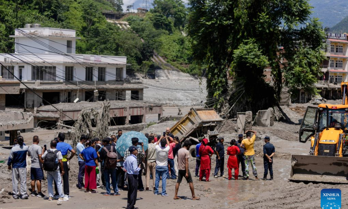
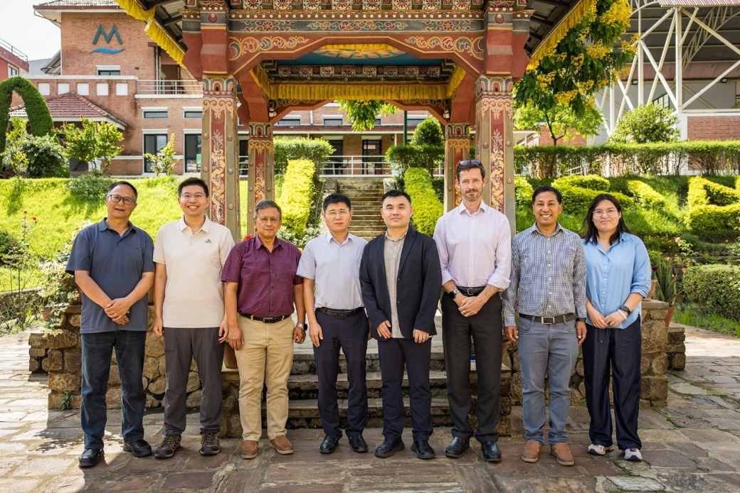

- 02 Sep 2026 PIFI Seminar: Preparedness and Planning for the Mountain Hazard and Risk Chain in Nepal B714, Aerospace-B Sept.2, 2026
- 02 Sep 2026 PIFI Seminar: Remote Sensing-Based Evaluation of Rice Crop Responses to Drought Stress in the Coastal Region of Bangladesh Delta B714, Aerospace-B Sept. 2, 2026
- 17 Aug 2026 FIRST ANNOUNCEMENT and CALL FOR SESSIONS and ABSTRACTS for DBAR2026 and ISEO2026 August 17–21, 2026 Cholpon-Ata, Issyk-Kul Region, Kyrgyz Republic










- Profile
- Leadership
- People
- Campuses
- Visiting AIRCAS
- Contact Us
About AIRCAS
- Research News
- Big Science Infrastructure
Research
- Overview
- CAS Members
People
- Focus on
- Research News
- News Updates
- Events
Newsroom
- ChinaGEO
- CASEarth Data
Data Services
- Publications
- Multimedia


